Opuwo night lights from space
Night Light of Opuwo (Kunene) from space (Namibia) Src. Average luminocity for 10x10km area is 3.9589% and for 50x50km: 0.1499%.
Analysis of Opuwo night lights 2016
Square area 10x10 km:
 0%
0%90-99
0.87%80-89
0%70-79
1.73%60-69
0.43%50-59
1.3%40-49
0.87%30-39
0%20-29
0%10-19
0%0-9
94.81%Square area 50x50 km:
0%90-99
0.03%80-89
0%70-79
0.07%60-69
0.02%50-59
0.05%40-49
0.03%30-39
0%20-29
0%10-19
0%0-9
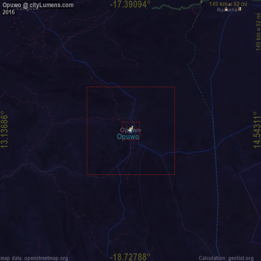
99.8%Clear (daylight) street map image can be seen on geolist.org.
Map coordinates:
17° 23' 27.4" South, 13° 8' 12.7" East
18° 3' 38.4" South, 13° 50' 23.9" East
18° 43' 40.4" South, 14° 32' 35.2" East
Some cities around Opuwo sort by population:
• Oshakati
199.5 km =124 mi,  81°
81°
• Khorixas
282.4 km =175.5 mi,  155°
155°
• Ondjiva, AO
229.1 km =142.4 mi,  61°
61°
• Ongwediva
206.2 km =128.1 mi, 81°
• Ondangwa
223.7 km =139 mi,  85°
85°
• Okahao
131.2 km =81.5 mi, 81°
• Outapi
136.2 km =84.6 mi, 62°
• Eenhana
272.1 km =169.1 mi, 75°
3354077 (p: 5,101)
Sources (retrieved 2019-11-25):
» Earth at Night: Flat Maps 2012, 2016