Lubango night lights from space
Night Light of Lubango (Huíla) from space (Angola) Src. Average luminocity for 10x10km area is 70.7355% and for 50x50km: 6.3595%.
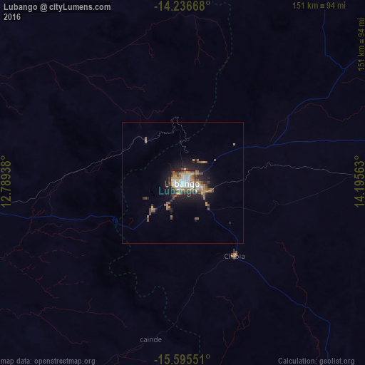
Analysis of Lubango night lights 2016
Square area 10x10 km:
 17.77%
90-99
17.15%80-89
10.54%70-79
13.43%60-69
6.82%50-59
7.23%40-49
9.3%30-39
5.37%20-29
10.95%10-19
1.45%0-9
0%Square area 50x50 km:
0.83%90-99
0.87%80-89
0.56%70-79
1.06%60-69
0.86%50-59
1.04%40-49
1.07%30-39
0.75%20-29
1.97%10-19
4.26%0-9
86.72%Clear (daylight) street map image can be seen on geolist.org.
Map coordinates:
14° 14' 12" South, 12° 47' 21.8" East
14° 55' 1.8" South, 13° 29' 33" East
15° 35' 43.8" South, 14° 11' 44.3" East
Some cities around Lubango sort by population:
• Lobito
283.9 km =176.4 mi,  0°
0°
• Benguela
260.5 km =161.9 mi,  357°
357°
• Namibe
147.2 km =91.5 mi,  257°
257°
• Longonjo
293.4 km =182.3 mi,  40°
40°
• Caála
320.2 km =199 mi, 44°
• Catumbela
276.6 km =171.9 mi, 1°
• Caconda
214.7 km =133.4 mi,  52°
52°
• Outapi, NA
328.3 km =204 mi,  151°
151°
3347762 (p: 102,541)
Sources (retrieved 2019-11-25):
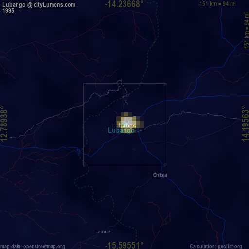
» NASA, Earths city lights 1995
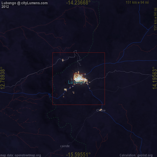
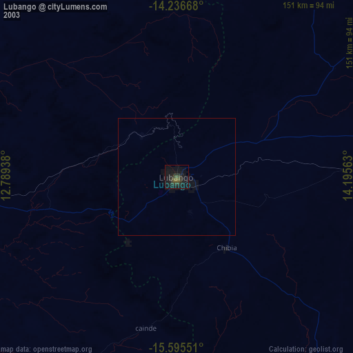
» NASA city lights 2003
» Earth at Night: Flat Maps 2012, 2016