Namibe night lights from space
Night Light of Namibe from space (Angola) Src. Average luminocity for 10x10km area is 47.5041% and for 50x50km: 2.7902%.
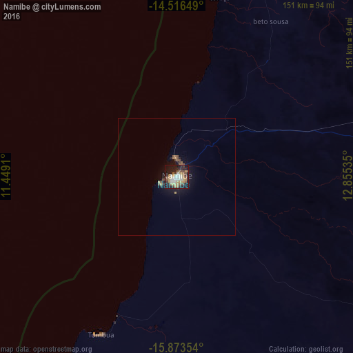
Analysis of Namibe night lights 2016
Square area 10x10 km:
 6.82%
6.82%90-99
8.68%80-89
5.79%70-79
11.78%60-69
2.89%50-59
8.26%40-49
6.4%30-39
4.13%20-29
14.46%10-19
28.93%0-9
1.86%Square area 50x50 km:
0.27%90-99
0.35%80-89
0.25%70-79
0.56%60-69
0.22%50-59
0.55%40-49
0.45%30-39
0.22%20-29
0.77%10-19
2.64%0-9
93.72%Clear (daylight) street map image can be seen on geolist.org.
Map coordinates:
14° 30' 59.4" South, 11° 26' 56.8" East
15° 11' 46" South, 12° 9' 8" East
15° 52' 24.7" South, 12° 51' 19.3" East
Some cities around Namibe sort by population:
• Lobito
348.5 km =216.5 mi,  25°
25°
• Benguela
321.2 km =199.6 mi,  24°
24°
• Lubango
147.2 km =91.5 mi,  77°
77°
• Longonjo
420.3 km =261.2 mi,  52°
52°
• Catumbela
342.4 km =212.8 mi, 26°
• Caconda
353.4 km =219.6 mi,  62°
62°
• Opuwo, NA
365.7 km =227.2 mi,  150°
150°
• Outapi, NA
396 km =246.1 mi,  130°
130°
3347019 (p: 80,149)
Sources (retrieved 2019-11-25):
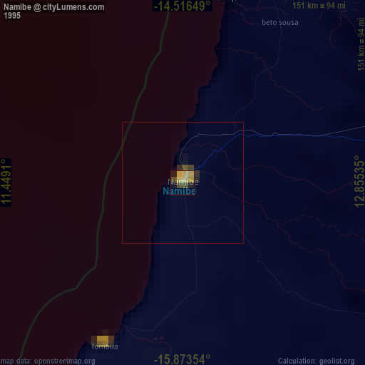
» NASA, Earths city lights 1995
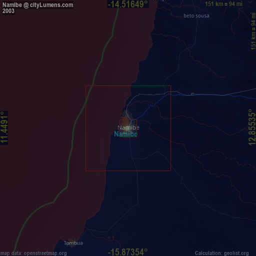
» NASA city lights 2003
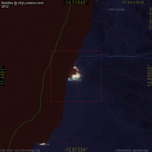
» Earth at Night: Flat Maps 2012, 2016