Georgetown night lights from space
Night Light of Georgetown (Ascension) from space (Saint Helena) Src. Average luminocity for 10x10km area is 1.0083% and for 50x50km: 0.0433%.
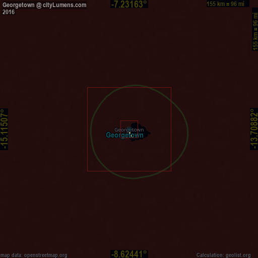
Analysis of Georgetown night lights 2016
Square area 10x10 km:
 0%
0%90-99
0%80-89
0%70-79
0%60-69
0.83%50-59
0%40-49
0.83%30-39
0%20-29
0%10-19
0%0-9
98.35%Square area 50x50 km:
0%90-99
0%80-89
0%70-79
0%60-69
0.03%50-59
0%40-49
0.03%30-39
0%20-29
0%10-19
0%0-9
99.93%Clear (daylight) street map image can be seen on geolist.org.
Map coordinates:
7° 13' 53.9" South, 15° 6' 54.3" West
7° 55' 43" South, 14° 24' 43" West
8° 37' 27.9" South, 13° 42' 31.8" West
Some cities around Georgetown sort by population:
• Harper, LR
1557.2 km =967.6 mi,  28°
28°
• Buchanan, LR
1609.5 km =1000.1 mi,  17°
17°
• Tabou, CI
1580.9 km =982.3 mi, 29°
• Greenville, LR
1557.3 km =967.7 mi, 22°
• Fish Town, LR
1629.6 km =1012.6 mi, 26°
• Barclayville, LR
1559.9 km =969.3 mi, 26°
• Cestos City, LR
1581.8 km =982.9 mi, 19°
• Jamestown
1298.6 km =806.9 mi,  133°
133°
2411397 (p: 538)
Sources (retrieved 2019-11-25):
» Earth at Night: Flat Maps 2012, 2016