Barclayville night lights from space
Night Light of Barclayville (Grand Kru) from space (Liberia) Src. Average luminocity for 10x10km area is 0.0041% and for 50x50km: 0.0781%.
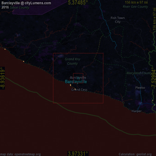
Analysis of Barclayville night lights 2016
Square area 10x10 km:
 0%
0%90-99
0%80-89
0%70-79
0%60-69
0%50-59
0%40-49
0%30-39
0%20-29
0%10-19
0%0-9
100%Square area 50x50 km:
0%90-99
0%80-89
0%70-79
0.03%60-69
0.07%50-59
0%40-49
0%30-39
0%20-29
0%10-19
0%0-9
99.9%Clear (daylight) street map image can be seen on geolist.org.
Map coordinates:
5° 22' 29.5" North, 8° 56' 10.3" West
4° 40' 27.9" North, 8° 13' 59" West
3° 58' 23.9" North, 7° 31' 47.8" West
Some cities around Barclayville sort by population:
• San-Pédro, CI
177.1 km =110 mi,  87°
87°
• Harper
66.6 km =41.4 mi,  119°
119°
• Zwedru
155.4 km =96.6 mi,  3°
3°
• Tabou, CI
101.5 km =63.1 mi,  105°
105°
• Greenville
96.8 km =60.1 mi,  292°
292°
• Toulépleu Gueré, CI
212.3 km =131.9 mi,  354°
354°
• Fish Town
70.3 km =43.7 mi,  34°
34°
• Cestos City
172.9 km =107.4 mi,  300°
300°
2278889 (p: 2,733)
Sources (retrieved 2019-11-25):
» Earth at Night: Flat Maps 2012, 2016