Harper night lights from space
Night Light of Harper (Maryland) from space (Liberia) Src. Average luminocity for 10x10km area is 0% and for 50x50km: 0.0505%.
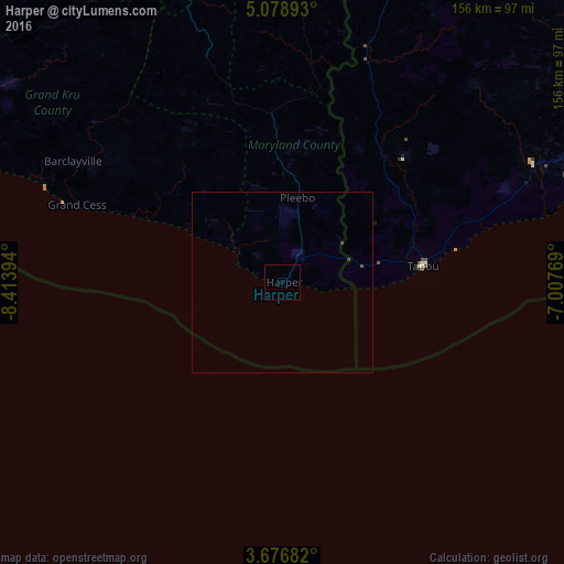
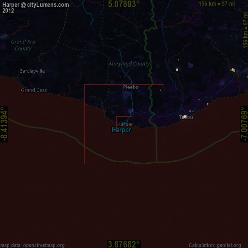
Analysis of Harper night lights 2016
Square area 10x10 km:
 0%
0%90-99
0%80-89
0%70-79
0%60-69
0%50-59
0%40-49
0%30-39
0%20-29
0%10-19
0%0-9
100%Square area 50x50 km:
0%90-99
0%80-89
0%70-79
0%60-69
0%50-59
0%40-49
0.09%30-39
0.01%20-29
0%10-19
0%0-9
99.9%Clear (daylight) street map image can be seen on geolist.org.
Map coordinates:
5° 4' 44.1" North, 8° 24' 50.2" West
4° 22' 41.5" North, 7° 42' 38.9" West
3° 40' 36.6" North, 7° 0' 27.7" West
Some cities around Harper sort by population:
• San-Pédro, CI
126 km =78.3 mi,  70°
70°
• Zwedru
193.7 km =120.4 mi,  345°
345°
• Sassandra, CI
191.2 km =118.8 mi, 70°
• Tabou, CI
40 km =24.9 mi,  82°
82°
• Greenville
163.1 km =101.3 mi,  295°
295°
• Fish Town
92.9 km =57.7 mi, 348°
• Barclayville
66.6 km =41.4 mi, 299°
• Cestos City
239.5 km =148.8 mi, 300°
2276492 (p: 32,661)
Sources (retrieved 2019-11-25):
» Earth at Night: Flat Maps 2012, 2016