Fish Town night lights from space
Night Light of Fish Town (River Gee) from space (Liberia) Src. Average luminocity for 10x10km area is 0% and for 50x50km: 0%.
Analysis of Fish Town night lights 2016
Square area 10x10 km:
 0%
0%90-99
0%80-89
0%70-79
0%60-69
0%50-59
0%40-49
0%30-39
0%20-29
0%10-19
0%0-9
100%Square area 50x50 km:
0%90-99
0%80-89
0%70-79
0%60-69
0%50-59
0%40-49
0%30-39
0%20-29
0%10-19
0%0-9
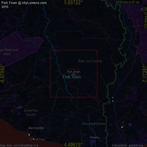
100%Clear (daylight) street map image can be seen on geolist.org.
Map coordinates:
5° 53' 50" North, 8° 34' 44.1" West
5° 11' 50.6" North, 7° 52' 32.8" West
4° 29' 48.4" North, 7° 10' 21.6" West
Some cities around Fish Town sort by population:
• San-Pédro, CI
146.1 km =90.8 mi,  109°
109°
• Guiglo, CI
155.6 km =96.7 mi,  15°
15°
• Harper
92.9 km =57.7 mi,  168°
168°
• Zwedru
101 km =62.8 mi,  343°
343°
• Tabou, CI
103.8 km =64.5 mi,  146°
146°
• Greenville
130.5 km =81.1 mi,  260°
260°
• Toulépleu Gueré, CI
164.7 km =102.3 mi, 338°
• Barclayville
70.3 km =43.7 mi,  214°
214°
2273638 (p: 3,328)
Sources (retrieved 2019-11-25):
» Earth at Night: Flat Maps 2012, 2016