Abu Jibeha night lights from space
Night Light of Abu Jibeha (Southern Kordofan) from space (Sudan) Src. Average luminocity for 10x10km area is 0% and for 50x50km: 0%.
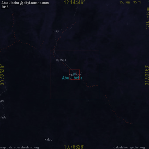

Analysis of Abu Jibeha night lights 2016
Square area 10x10 km:
 0%
0%90-99
0%80-89
0%70-79
0%60-69
0%50-59
0%40-49
0%30-39
0%20-29
0%10-19
0%0-9
100%Square area 50x50 km:
0%90-99
0%80-89
0%70-79
0%60-69
0%50-59
0%40-49
0%30-39
0%20-29
0%10-19
0%0-9
100%Clear (daylight) street map image can be seen on geolist.org.
Map coordinates:
12° 8' 40.1" North, 30° 31' 31.4" East
11° 27' 22.3" North, 31° 13' 42.6" East
10° 45' 58.5" North, 31° 55' 53.9" East
Some cities around Abu Jibeha sort by population:
• Kadugli
172 km =106.9 mi,  253°
253°
• Umm Ruwaba
161.2 km =100.2 mi,  359°
359°
• Dilling
184.1 km =114.4 mi,  291°
291°
• Tandaltī
186.9 km =116.1 mi,  21°
21°
• Ar Rahad
153.6 km =95.4 mi,  335°
335°
• Talodi
130.3 km =81 mi,  225°
225°
• Marabba
143.8 km =89.4 mi,  46°
46°
• Renk, SS
174.6 km =108.5 mi,  79°
79°
380757 (p: 21,790)
Sources (retrieved 2019-11-25):
» Earth at Night: Flat Maps 2012, 2016