Port Sudan night lights from space
Night Light of Port Sudan (Red Sea) from space (Sudan) Src. Average luminocity for 10x10km area is 79.3388% and for 50x50km: 6.3458%.
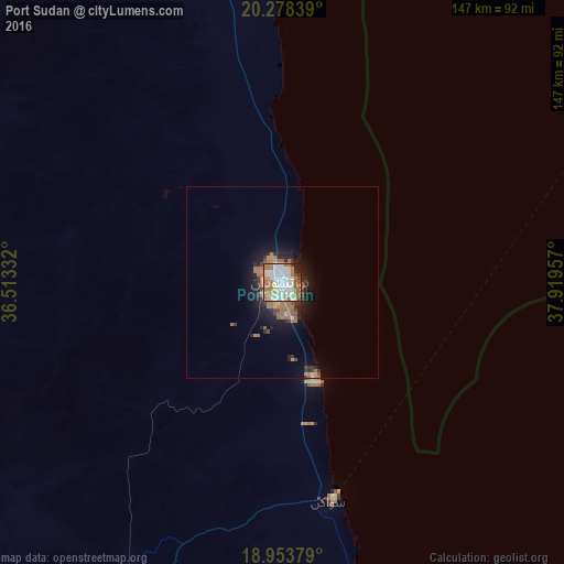

Analysis of Port Sudan night lights 2016
Square area 10x10 km:
 17.56%
90-99
31.4%80-89
8.06%70-79
7.44%60-69
22.73%50-59
3.72%40-49
2.07%30-39
2.48%20-29
3.31%10-19
1.24%0-9
0%Square area 50x50 km:
0.74%90-99
1.28%80-89
0.41%70-79
0.52%60-69
2.36%50-59
0.49%40-49
0.41%30-39
0.89%20-29
1.62%10-19
3.92%0-9
87.36%Clear (daylight) street map image can be seen on geolist.org.
Map coordinates:
20° 16' 42.2" North, 36° 30' 48" East
19° 37' 2.8" North, 37° 12' 59.2" East
18° 57' 13.6" North, 37° 55' 10.5" East
Some cities around Port Sudan sort by population:
• Jeddah, SA
292.2 km =181.6 mi,  44°
44°
• Mecca, SA
338.1 km =210.1 mi,  53°
53°
• Ash Shafā, SA
361.6 km =224.7 mi,  63°
63°
• Sawākin
58.2 km =36.2 mi,  167°
167°
• Tokār
143.1 km =88.9 mi,  157°
157°
• Al Jumūm, SA
340.8 km =211.8 mi, 49°
• Gebeit
186.5 km =115.9 mi,  329°
329°
• Al Hadā, SA
373.3 km =232 mi, 58°
377039 (p: 489,725)
Sources (retrieved 2019-11-25):
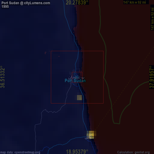
» NASA, Earths city lights 1995
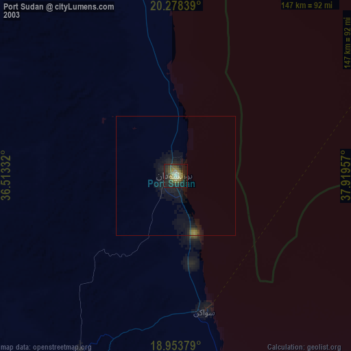
» NASA city lights 2003
» Earth at Night: Flat Maps 2012, 2016