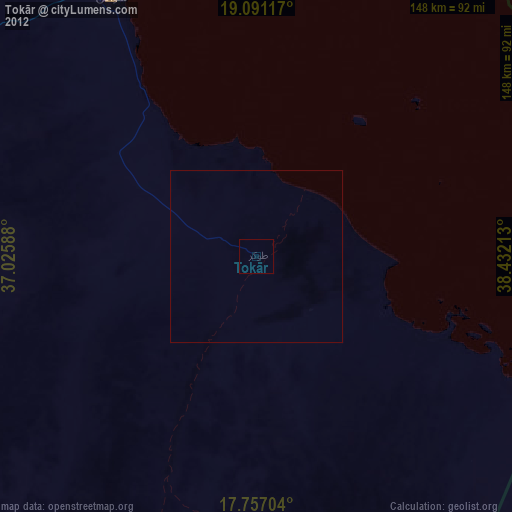
Tokār night lights from space
Night Light of Tokār (Red Sea) from space (Sudan) Src. Average luminocity for 10x10km area is 0% and for 50x50km: 0.0136%.
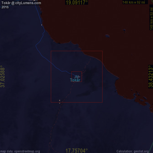
Analysis of Tokār night lights 2016
Square area 10x10 km:
 0%
0%90-99
0%80-89
0%70-79
0%60-69
0%50-59
0%40-49
0%30-39
0%20-29
0%10-19
0%0-9
100%Square area 50x50 km:
0%90-99
0%80-89
0%70-79
0%60-69
0%50-59
0%40-49
0.03%30-39
0%20-29
0%10-19
0%0-9
99.97%Clear (daylight) street map image can be seen on geolist.org.
Map coordinates:
19° 5' 28.2" North, 37° 1' 33.2" East
18° 25' 31.4" North, 37° 43' 44.4" East
17° 45' 25.3" North, 38° 25' 55.7" East
Some cities around Tokār sort by population:
• Port Sudan
143.1 km =88.9 mi,  337°
337°
• Kassala
359.7 km =223.5 mi,  203°
203°
• Keren, ER
304.2 km =189 mi,  165°
165°
• Sawākin
86.4 km =53.7 mi,  331°
331°
• Aroma
336 km =208.8 mi,  210°
210°
• Wagar
300.2 km =186.5 mi, 212°
• Gebeit
328.8 km =204.3 mi, 333°
• Ak’ordat, ER
320.4 km =199.1 mi,  177°
177°
366323 (p: 22,250)
Sources (retrieved 2019-11-25):
» Earth at Night: Flat Maps 2012, 2016