Gebeit night lights from space
Night Light of Gebeit (Red Sea) from space (Sudan) Src. Average luminocity for 10x10km area is 0% and for 50x50km: 0%.
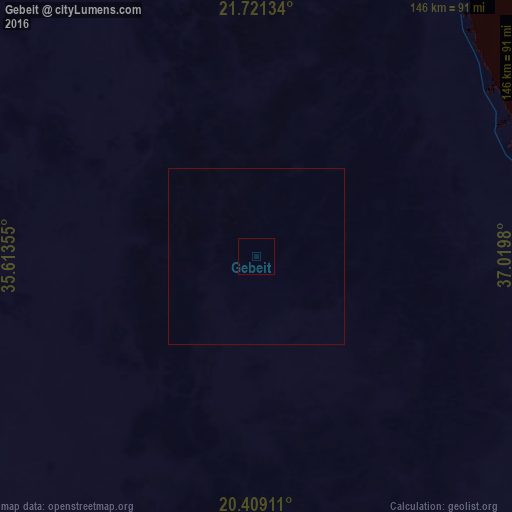
Analysis of Gebeit night lights 2016
Square area 10x10 km:
 0%
0%90-99
0%80-89
0%70-79
0%60-69
0%50-59
0%40-49
0%30-39
0%20-29
0%10-19
0%0-9
100%Square area 50x50 km:
0%90-99
0%80-89
0%70-79
0%60-69
0%50-59
0%40-49
0%30-39
0%20-29
0%10-19
0%0-9
100%Clear (daylight) street map image can be seen on geolist.org.
Map coordinates:
21° 43' 16.8" North, 35° 36' 48.8" East
21° 4' 0" North, 36° 19' 0" East
20° 24' 32.8" North, 37° 1' 11.3" East
Some cities around Gebeit sort by population:
• Jeddah, SA
301 km =187 mi,  81°
81°
• Mecca, SA
365.8 km =227.3 mi, 83°
• Port Sudan
186.5 km =115.9 mi,  149°
149°
• Yanbu, SA
380.9 km =236.7 mi,  28°
28°
• Rābigh, SA
340.1 km =211.3 mi,  55°
55°
• Sawākin
242.4 km =150.6 mi, 154°
• Tokār
328.8 km =204.3 mi, 153°
• Al Jumūm, SA
355.4 km =220.8 mi, 80°
375046 (p: 11,095)
Sources (retrieved 2019-11-25):
» Earth at Night: Flat Maps 2012, 2016