Maiurno night lights from space
Night Light of Maiurno (Sinnār) from space (Sudan) Src. Average luminocity for 10x10km area is 1.7231% and for 50x50km: 1.2132%.
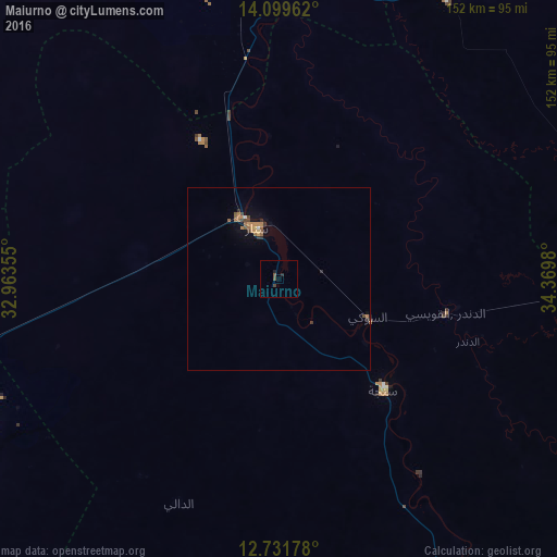
Analysis of Maiurno night lights 2016
Square area 10x10 km:
 0%
0%90-99
0%80-89
0%70-79
0%60-69
0%50-59
0.83%40-49
1.65%30-39
0%20-29
1.03%10-19
0.62%0-9
95.87%Square area 50x50 km:
0.01%90-99
0.06%80-89
0.05%70-79
0.23%60-69
0.36%50-59
0.33%40-49
0.26%30-39
0.21%20-29
0.16%10-19
0.42%0-9
97.92%Clear (daylight) street map image can be seen on geolist.org.
Map coordinates:
14° 5' 58.6" North, 32° 57' 48.8" East
13° 25' 0" North, 33° 40' 0" East
12° 43' 54.4" North, 34° 22' 11.3" East
Some cities around Maiurno sort by population:
• Wad Medani
110.6 km =68.7 mi,  351°
351°
• Singa
41.3 km =25.7 mi,  136°
136°
• Rabak
103.6 km =64.4 mi,  255°
255°
• Sinnar
20.1 km =12.5 mi,  327°
327°
• As Sūkī
25.9 km =16.1 mi,  115°
115°
• Kināna
87.2 km =54.2 mi,  322°
322°
• Al Ḩawātah
104.5 km =64.9 mi,  90°
90°
• Ad Dindar
59.2 km =36.8 mi,  114°
114°
370838 (p: 28,727)
Sources (retrieved 2019-11-25):
» Earth at Night: Flat Maps 2012, 2016