Singa night lights from space
Night Light of Singa (Sinnār) from space (Sudan) Src. Average luminocity for 10x10km area is 11.1255% and for 50x50km: 0.6541%.
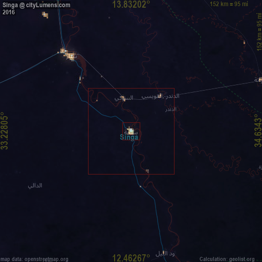
Analysis of Singa night lights 2016
Square area 10x10 km:
 1.08%
1.08%90-99
1.08%80-89
2.6%70-79
1.95%60-69
3.68%50-59
0%40-49
0%30-39
1.73%20-29
0.87%10-19
0.87%0-9
86.15%Square area 50x50 km:
0.04%90-99
0.04%80-89
0.1%70-79
0.08%60-69
0.23%50-59
0%40-49
0.05%30-39
0.29%20-29
0.13%10-19
0.08%0-9
98.95%Clear (daylight) street map image can be seen on geolist.org.
Map coordinates:
13° 49' 55.3" North, 33° 13' 41" East
13° 8' 53.9" North, 33° 55' 52.2" East
12° 27' 45.6" North, 34° 38' 3.5" East
Some cities around Singa sort by population:
• Rabak
129 km =80.2 mi,  271°
271°
• Sinnar
61.2 km =38 mi,  319°
319°
• As Sūkī
19.4 km =12.1 mi,  344°
344°
• Maiurno
41.3 km =25.7 mi, 316°
• Kināna
128.4 km =79.8 mi, 320°
• Al Ḩawātah
81.6 km =50.7 mi,  68°
68°
• Ad Dindar
26.1 km =16.2 mi,  77°
77°
• Jalqani
83.8 km =52.1 mi,  158°
158°
366847 (p: 250,000)
Sources (retrieved 2019-11-25):
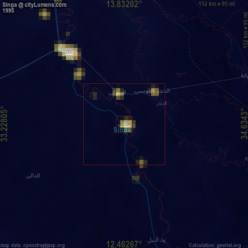
» NASA, Earths city lights 1995
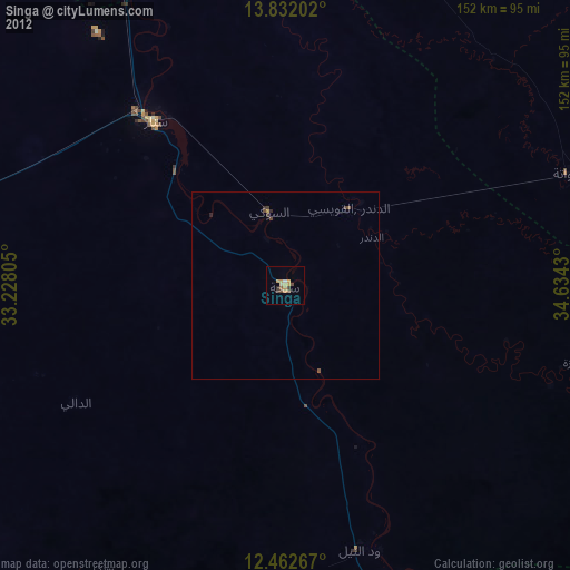
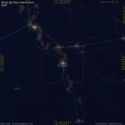
» NASA city lights 2003
» Earth at Night: Flat Maps 2012, 2016