Rabak night lights from space
Night Light of Rabak (White Nile) from space (Sudan) Src. Average luminocity for 10x10km area is 21.0476% and for 50x50km: 2.9368%.
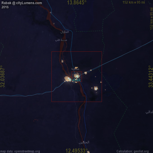
Analysis of Rabak night lights 2016
Square area 10x10 km:
 0.22%
0.22%90-99
0.65%80-89
2.38%70-79
2.16%60-69
6.06%50-59
4.33%40-49
5.63%30-39
2.6%20-29
2.6%10-19
25.32%0-9
48.05%Square area 50x50 km:
0.18%90-99
0.17%80-89
0.22%70-79
0.58%60-69
0.66%50-59
0.55%40-49
0.6%30-39
0.29%20-29
0.29%10-19
1.89%0-9
94.56%Clear (daylight) street map image can be seen on geolist.org.
Map coordinates:
13° 51' 52.2" North, 32° 2' 12.7" East
13° 10' 51.1" North, 32° 44' 24" East
12° 29' 43.2" North, 33° 26' 35.2" East
Some cities around Rabak sort by population:
• Kosti
8.5 km =5.3 mi,  256°
256°
• Sinnar
99.3 km =61.7 mi,  64°
64°
• Ad Douiem
102.3 km =63.6 mi,  333°
333°
• Maiurno
103.6 km =64.4 mi,  75°
75°
• Tandaltī
96.3 km =59.8 mi, 259°
• Kināna
105.9 km =65.8 mi,  26°
26°
• Al Kawa
68 km =42.3 mi,  337°
337°
• Um Jar Al Gharbiyya
77.8 km =48.3 mi, 332°
368277 (p: 135,281)
Sources (retrieved 2019-11-25):
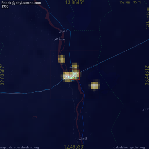
» NASA, Earths city lights 1995
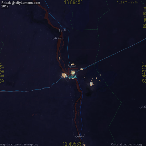
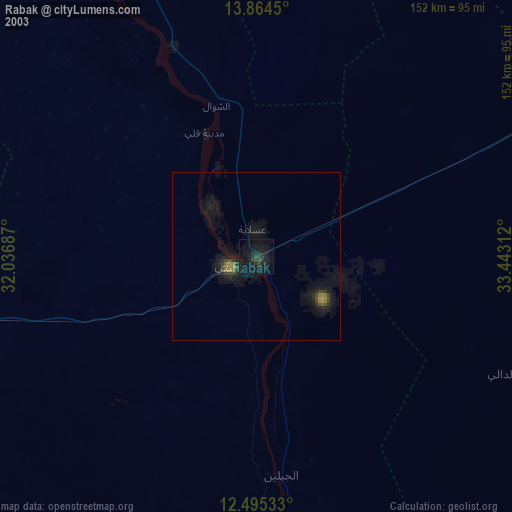
» NASA city lights 2003
» Earth at Night: Flat Maps 2012, 2016