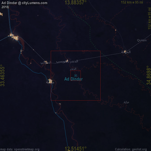
Ad Dindar night lights from space
Night Light of Ad Dindar (Sinnār) from space (Sudan) Src. Average luminocity for 10x10km area is 0% and for 50x50km: 0.2644%.
Analysis of Ad Dindar night lights 2016
Square area 10x10 km:
 0%
0%90-99
0%80-89
0%70-79
0%60-69
0%50-59
0%40-49
0%30-39
0%20-29
0%10-19
0%0-9
100%Square area 50x50 km:
0.02%90-99
0.02%80-89
0.07%70-79
0%60-69
0.08%50-59
0%40-49
0.02%30-39
0.11%20-29
0.04%10-19
0.03%0-9
99.61%Clear (daylight) street map image can be seen on geolist.org.
Map coordinates:
13° 53' 0.9" North, 33° 27' 48.8" East
13° 12' 0" North, 34° 10' 0" East
12° 30' 52.2" North, 34° 52' 11.3" East
Some cities around Ad Dindar sort by population:
• Singa
26.1 km =16.2 mi,  257°
257°
• Sinnar
76.7 km =47.7 mi,  302°
302°
• As Sūkī
33.3 km =20.7 mi,  292°
292°
• Ar Ruseris
150.3 km =93.4 mi,  170°
170°
• Maiurno
59.2 km =36.8 mi, 294°
• Kināna
142.2 km =88.4 mi,  310°
310°
• Al Ḩawātah
55.9 km =34.7 mi,  64°
64°
• Jalqani
83.7 km =52 mi,  176°
176°
380151 (p: 15,144)
Sources (retrieved 2019-11-25):
» Earth at Night: Flat Maps 2012, 2016