Al Ḩawātah night lights from space
Night Light of Al Ḩawātah (Al Qaḑārif) from space (Sudan) Src. Average luminocity for 10x10km area is 2.1281% and for 50x50km: 0.1093%.

Analysis of Al Ḩawātah night lights 2016
Square area 10x10 km:
 0%
0%90-99
0%80-89
0%70-79
0.21%60-69
1.45%50-59
0%40-49
0.62%30-39
1.03%20-29
0.83%10-19
0.62%0-9
95.25%Square area 50x50 km:
0%90-99
0%80-89
0%70-79
0.01%60-69
0.06%50-59
0.03%40-49
0.02%30-39
0.04%20-29
0.05%10-19
0.04%0-9
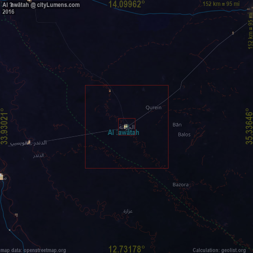
99.74%Clear (daylight) street map image can be seen on geolist.org.
Map coordinates:
14° 5' 58.6" North, 33° 55' 48.8" East
13° 25' 0" North, 34° 37' 60" East
12° 43' 54.4" North, 35° 20' 11.3" East
Some cities around Al Ḩawātah sort by population:
• Al Qadarif
106.3 km =66.1 mi,  49°
49°
• Singa
81.6 km =50.7 mi,  248°
248°
• Sinnar
116.5 km =72.4 mi,  278°
278°
• As Sūkī
81.9 km =50.9 mi,  262°
262°
• Maiurno
104.5 km =64.9 mi,  270°
270°
• Doka
123.1 km =76.5 mi,  84°
84°
• Ad Dindar
55.9 km =34.7 mi,  244°
244°
• Jalqani
116.6 km =72.5 mi,  202°
202°
379416 (p: 24,513)
Sources (retrieved 2019-11-25):
» Earth at Night: Flat Maps 2012, 2016