Birao night lights from space
Night Light of Birao (Vakaga) from space (Central African Republic) Src. Average luminocity for 10x10km area is 0% and for 50x50km: 0%.
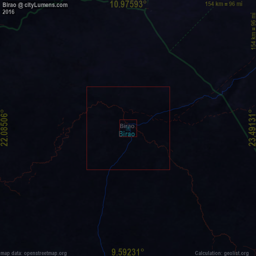
Analysis of Birao night lights 2016
Square area 10x10 km:
 0%
0%90-99
0%80-89
0%70-79
0%60-69
0%50-59
0%40-49
0%30-39
0%20-29
0%10-19
0%0-9
100%Square area 50x50 km:
0%90-99
0%80-89
0%70-79
0%60-69
0%50-59
0%40-49
0%30-39
0%20-29
0%10-19
0%0-9
100%Clear (daylight) street map image can be seen on geolist.org.
Map coordinates:
10° 58' 33.3" North, 22° 5' 6.2" East
10° 17' 5.6" North, 22° 47' 17.4" East
9° 35' 32.3" North, 23° 29' 28.7" East
Some cities around Birao sort by population:
• Nyala, SD
300.9 km =187 mi,  49°
49°
• Geneina, SD
354.2 km =220.1 mi,  353°
353°
• Gereida, SD
279.5 km =173.7 mi,  66°
66°
• Am Timan, TD
286 km =177.7 mi,  286°
286°
• Zalingei, SD
301.1 km =187.1 mi,  14°
14°
• Ndélé
314 km =195.1 mi,  228°
228°
• Ouadda
249.1 km =154.8 mi,  189°
189°
• Goz Beïda, TD
262.9 km =163.4 mi,  325°
325°
240210 (p: 10,178)
Sources (retrieved 2019-11-25):
» Earth at Night: Flat Maps 2012, 2016