Umm Ruwaba night lights from space
Night Light of Umm Ruwaba (North Kordofan) from space (Sudan) Src. Average luminocity for 10x10km area is 5.0844% and for 50x50km: 0.2003%.
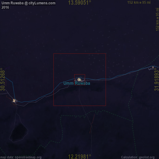
Analysis of Umm Ruwaba night lights 2016
Square area 10x10 km:
 0%
0%90-99
0%80-89
0%70-79
0.65%60-69
1.95%50-59
2.6%40-49
1.3%30-39
1.3%20-29
0.87%10-19
0.87%0-9
90.48%Square area 50x50 km:
0%90-99
0%80-89
0%70-79
0.03%60-69
0.08%50-59
0.1%40-49
0.05%30-39
0.05%20-29
0.03%10-19
0.03%0-9
99.63%Clear (daylight) street map image can be seen on geolist.org.
Map coordinates:
13° 35' 25.8" North, 30° 30' 45.6" East
12° 54' 22" North, 31° 12' 56.9" East
12° 13' 11.3" North, 31° 55' 8.1" East
Some cities around Umm Ruwaba sort by population:
• El Obeid
112.6 km =70 mi,  285°
285°
• Kosti
159.4 km =99 mi,  79°
79°
• Tandaltī
71.6 km =44.5 mi, 80°
• Ar Rahad
64.9 km =40.3 mi,  251°
251°
• Abu Jibeha
161.2 km =100.2 mi,  179°
179°
• Bārah
127.4 km =79.2 mi,  313°
313°
• Marabba
121.8 km =75.7 mi,  120°
120°
• Um Jar Al Gharbiyya
162.9 km =101.2 mi,  52°
52°
364706 (p: 55,742)
Sources (retrieved 2019-11-25):
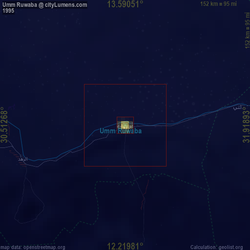
» NASA, Earths city lights 1995
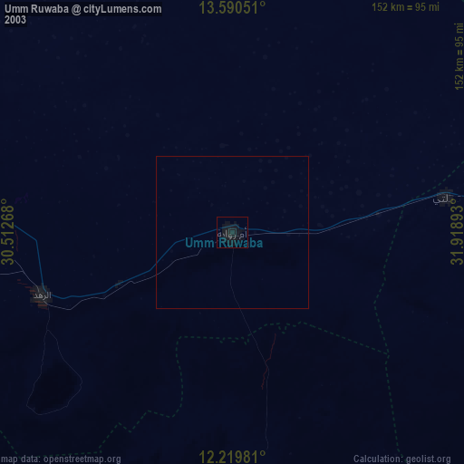
» NASA city lights 2003
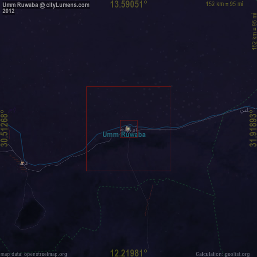
» Earth at Night: Flat Maps 2012, 2016