Tandaltī night lights from space
Night Light of Tandaltī (White Nile) from space (Sudan) Src. Average luminocity for 10x10km area is 0.816% and for 50x50km: 0.032%.
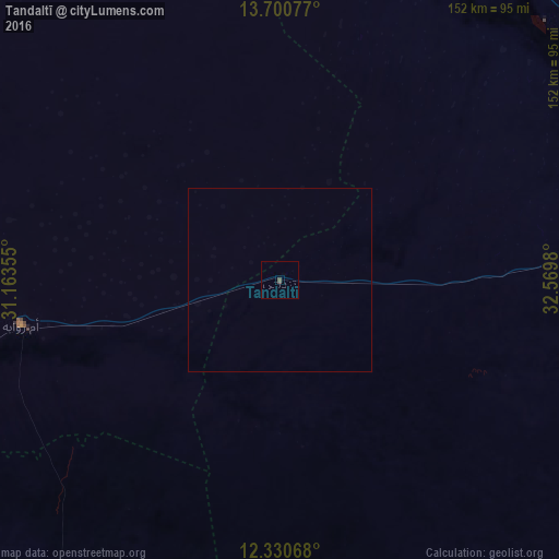
Analysis of Tandaltī night lights 2016
Square area 10x10 km:
 0%
0%90-99
0%80-89
0%70-79
0%60-69
0%50-59
0%40-49
1.3%30-39
0.43%20-29
0%10-19
0%0-9
98.27%Square area 50x50 km:
0%90-99
0%80-89
0%70-79
0%60-69
0%50-59
0%40-49
0.05%30-39
0.02%20-29
0%10-19
0%0-9
99.93%Clear (daylight) street map image can be seen on geolist.org.
Map coordinates:
13° 42' 2.8" North, 31° 9' 48.8" East
13° 1' 0" North, 31° 52' 0" East
12° 19' 50.4" North, 32° 34' 11.3" East
Some cities around Tandaltī sort by population:
• Kosti
87.8 km =54.6 mi,  79°
79°
• Rabak
96.3 km =59.8 mi, 79°
• Ad Douiem
119.6 km =74.3 mi,  23°
23°
• Umm Ruwaba
71.6 km =44.5 mi,  260°
260°
• Ar Rahad
136 km =84.5 mi, 255°
• Marabba
81.7 km =50.8 mi,  155°
155°
• Al Kawa
106.2 km =66 mi,  40°
40°
• Um Jar Al Gharbiyya
105.1 km =65.3 mi,  33°
33°
366426 (p: 27,275)
Sources (retrieved 2019-11-25):
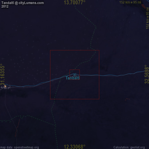
» Earth at Night: Flat Maps 2012, 2016