Marabba night lights from space
Night Light of Marabba (White Nile) from space (Sudan) Src. Average luminocity for 10x10km area is 0% and for 50x50km: 0%.
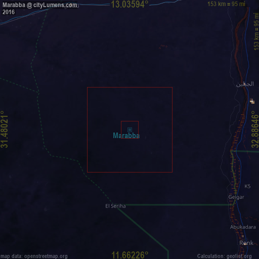
Analysis of Marabba night lights 2016
Square area 10x10 km:
 0%
0%90-99
0%80-89
0%70-79
0%60-69
0%50-59
0%40-49
0%30-39
0%20-29
0%10-19
0%0-9
100%Square area 50x50 km:
0%90-99
0%80-89
0%70-79
0%60-69
0%50-59
0%40-49
0%30-39
0%20-29
0%10-19
0%0-9
100%Clear (daylight) street map image can be seen on geolist.org.
Map coordinates:
13° 2' 9.4" North, 31° 28' 48.8" East
12° 21' 0" North, 32° 10' 60" East
11° 39' 44.1" North, 32° 53' 11.3" East
Some cities around Marabba sort by population:
• Kosti
104.3 km =64.8 mi,  29°
29°
• Rabak
110.4 km =68.6 mi, 33°
• Umm Ruwaba
121.8 km =75.7 mi,  300°
300°
• Tandaltī
81.7 km =50.8 mi,  335°
335°
• Abu Jibeha
143.8 km =89.4 mi,  226°
226°
• Al Kawa
159 km =98.8 mi,  12°
12°
• Um Jar Al Gharbiyya
163.2 km =101.4 mi, 8°
• Renk, SS
95.5 km =59.3 mi,  134°
134°
370510 (p: 12,108)
Sources (retrieved 2019-11-25):
» Earth at Night: Flat Maps 2012, 2016