Al Manāqil night lights from space
Night Light of Al Manāqil (Al Jazīrah) from space (Sudan) Src. Average luminocity for 10x10km area is 7.3766% and for 50x50km: 0.3228%.
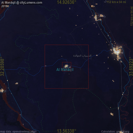
Analysis of Al Manāqil night lights 2016
Square area 10x10 km:
 0%
0%90-99
0%80-89
0%70-79
1.52%60-69
3.68%50-59
0.87%40-49
3.25%30-39
2.6%20-29
0.22%10-19
0.87%0-9
87.01%Square area 50x50 km:
0%90-99
0%80-89
0%70-79
0.06%60-69
0.14%50-59
0.03%40-49
0.13%30-39
0.17%20-29
0.04%10-19
0.03%0-9
99.4%Clear (daylight) street map image can be seen on geolist.org.
Map coordinates:
14° 55' 34.9" North, 32° 17' 9.5" East
14° 14' 45.2" North, 32° 59' 20.8" East
13° 33' 48.2" North, 33° 41' 32" East
Some cities around Al Manāqil sort by population:
• Wad Medani
59.7 km =37.1 mi,  73°
73°
• Ad Douiem
78 km =48.5 mi,  249°
249°
• Al Hasaheisa
65.4 km =40.6 mi,  30°
30°
• Kināna
30.5 km =19 mi,  139°
139°
• Al Hilāliyya
81.5 km =50.6 mi,  18°
18°
• Al Kawa
76.6 km =47.6 mi,  223°
223°
• Al Kiremit al ‘Arakiyyīn
12.3 km =7.6 mi,  336°
336°
• Um Jar Al Gharbiyya
79.9 km =49.6 mi,  231°
231°
379149 (p: 128,297)
Sources (retrieved 2019-11-25):
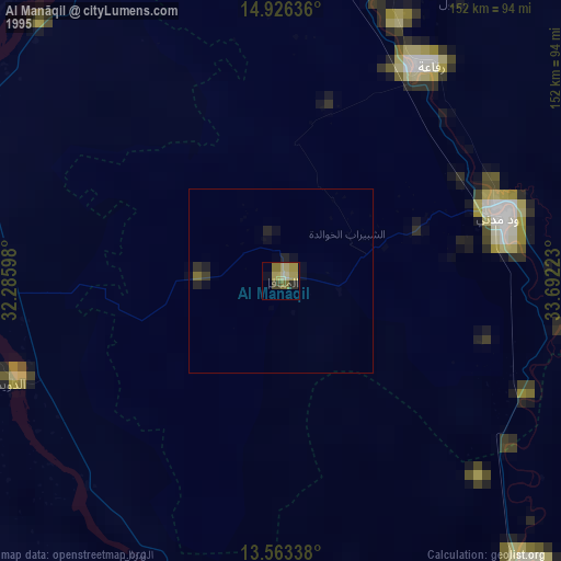
» NASA, Earths city lights 1995
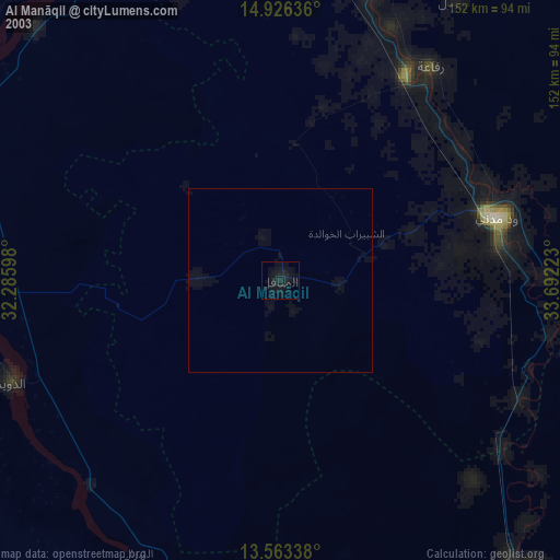
» NASA city lights 2003
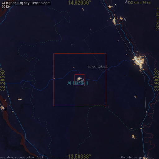
» Earth at Night: Flat Maps 2012, 2016