Al Kawa night lights from space
Night Light of Al Kawa (White Nile) from space (Sudan) Src. Average luminocity for 10x10km area is 0.3719% and for 50x50km: 0.067%.
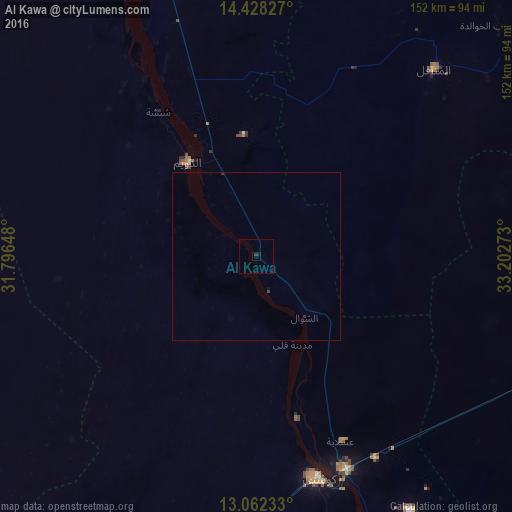
Analysis of Al Kawa night lights 2016
Square area 10x10 km:
 0%
0%90-99
0%80-89
0%70-79
0%60-69
0%50-59
0%40-49
0%30-39
0.41%20-29
0.41%10-19
0.83%0-9
98.35%Square area 50x50 km:
0%90-99
0%80-89
0%70-79
0%60-69
0%50-59
0%40-49
0.02%30-39
0.05%20-29
0.07%10-19
0.03%0-9
99.83%Clear (daylight) street map image can be seen on geolist.org.
Map coordinates:
14° 25' 41.8" North, 31° 47' 47.3" East
13° 44' 46.7" North, 32° 29' 58.6" East
13° 3' 44.4" North, 33° 12' 9.8" East
Some cities around Al Kawa sort by population:
• Kosti
67.2 km =41.8 mi,  164°
164°
• Rabak
68 km =42.3 mi, 157°
• Al Manāqil
76.6 km =47.6 mi,  43°
43°
• Ad Douiem
34.9 km =21.7 mi,  324°
324°
• Kināna
79.3 km =49.3 mi,  66°
66°
• Al Kiremit al ‘Arakiyyīn
82.2 km =51.1 mi, 35°
• Wad az Zāki
85.6 km =53.2 mi,  338°
338°
• Um Jar Al Gharbiyya
11.6 km =7.2 mi,  301°
301°
379272 (p: 10,167)
Sources (retrieved 2019-11-25):
» Earth at Night: Flat Maps 2012, 2016