Taro night lights from space
Night Light of Taro (Choiseul) from space (Solomon Islands) Src. Average luminocity for 10x10km area is 0% and for 50x50km: 0.135%.
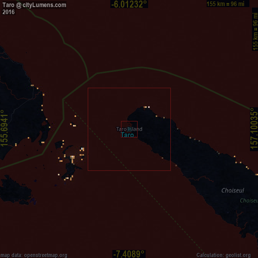
Analysis of Taro night lights 2016
Square area 10x10 km:
 0%
0%90-99
0%80-89
0%70-79
0%60-69
0%50-59
0%40-49
0%30-39
0%20-29
0%10-19
0%0-9
100%Square area 50x50 km:
0.02%90-99
0.02%80-89
0.03%70-79
0%60-69
0.03%50-59
0%40-49
0.07%30-39
0%20-29
0.03%10-19
0%0-9
99.79%Clear (daylight) street map image can be seen on geolist.org.
Map coordinates:
6° 0' 44.4" South, 155° 41' 38.8" East
6° 42' 40" South, 156° 23' 50" East
7° 24' 32" South, 157° 6' 1.3" East
Some cities around Taro sort by population:
• Honiara
494.5 km =307.3 mi,  127°
127°
• Arawa, PG
106.3 km =66.1 mi,  300°
300°
• Malango
493.5 km =306.6 mi, 132°
• Auki
526.1 km =326.9 mi,  115°
115°
• Gizo
162.3 km =100.8 mi,  162°
162°
• Buala
386.6 km =240.2 mi,  114°
114°
• Tulagi
491.5 km =305.4 mi, 122°
• Buka, PG
238 km =147.9 mi,  306°
306°
11423653 (p: 0)
Sources (retrieved 2019-11-25):
» Earth at Night: Flat Maps 2012, 2016