Malango night lights from space
Night Light of Malango (Guadalcanal) from space (Solomon Islands) Src. Average luminocity for 10x10km area is 0% and for 50x50km: 0.0746%.
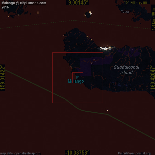
Analysis of Malango night lights 2016
Square area 10x10 km:
 0%
0%90-99
0%80-89
0%70-79
0%60-69
0%50-59
0%40-49
0%30-39
0%20-29
0%10-19
0%0-9
100%Square area 50x50 km:
0%90-99
0%80-89
0%70-79
0%60-69
0%50-59
0.03%40-49
0.03%30-39
0.01%20-29
0.06%10-19
0.06%0-9
99.81%Clear (daylight) street map image can be seen on geolist.org.
Map coordinates:
9° 0' 5.2" South, 159° 0' 51.2" East
9° 41' 42.8" South, 159° 43' 2.4" East
10° 23' 15.3" South, 160° 25' 13.7" East
Some cities around Malango sort by population:
• Honiara
38.7 km =24 mi,  41°
41°
• Arawa, PG
597.8 km =371.5 mi,  310°
310°
• Auki
149 km =92.6 mi,  46°
46°
• Gizo
362.1 km =225 mi,  299°
299°
• Buala
172.9 km =107.4 mi,  355°
355°
• Tulagi
81.2 km =50.5 mi, 35°
• Kirakira
255.5 km =158.8 mi,  109°
109°
• Taro
493.5 km =306.6 mi, 312°
2106543 (p: 10,532)
Sources (retrieved 2019-11-25):
» Earth at Night: Flat Maps 2012, 2016