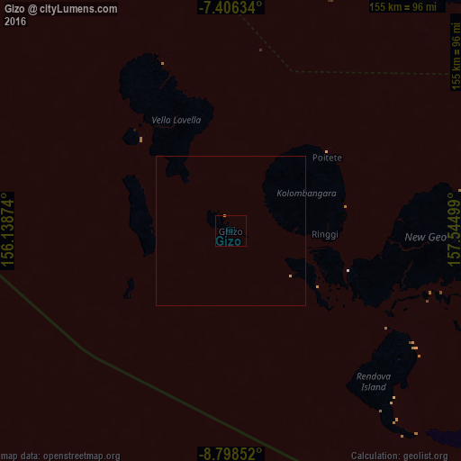
Gizo night lights from space
Night Light of Gizo (Western Province) from space (Solomon Islands) Src. Average luminocity for 10x10km area is 0.2955% and for 50x50km: 0.051%.
Analysis of Gizo night lights 2016
Square area 10x10 km:
 0%
0%90-99
0%80-89
0%70-79
0.41%60-69
0%50-59
0%40-49
0%30-39
0%20-29
0%10-19
0%0-9
99.59%Square area 50x50 km:
0%90-99
0%80-89
0.01%70-79
0.05%60-69
0.01%50-59
0%40-49
0%30-39
0%20-29
0%10-19
0%0-9
99.93%Clear (daylight) street map image can be seen on geolist.org.
Map coordinates:
7° 24' 22.8" South, 156° 8' 19.5" East
8° 6' 10.9" South, 156° 50' 30.7" East
8° 47' 54.7" South, 157° 32' 42" East
Some cities around Gizo sort by population:
• Honiara
372.2 km =231.3 mi,  113°
113°
• Arawa, PG
251.4 km =156.2 mi,  325°
325°
• Malango
362.1 km =225 mi,  119°
119°
• Auki
430.5 km =267.5 mi,  99°
99°
• Buala
302.8 km =188.2 mi,  90°
90°
• Tulagi
380.4 km =236.4 mi, 106°
• Buka, PG
381.6 km =237.1 mi,  321°
321°
• Taro
162.3 km =100.8 mi,  342°
342°
2108857 (p: 6,154)
Sources (retrieved 2019-11-25):
» Earth at Night: Flat Maps 2012, 2016