Buala night lights from space
Night Light of Buala (Isabel) from space (Solomon Islands) Src. Average luminocity for 10x10km area is 3.0599% and for 50x50km: 0.4171%.
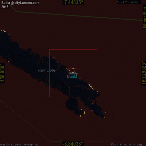
Analysis of Buala night lights 2016
Square area 10x10 km:
 0%
0%90-99
0%80-89
0.21%70-79
1.65%60-69
0.62%50-59
0%40-49
0.83%30-39
0%20-29
1.65%10-19
0%0-9
95.04%Square area 50x50 km:
0%90-99
0%80-89
0.01%70-79
0.18%60-69
0.15%50-59
0.03%40-49
0.07%30-39
0.03%20-29
0.19%10-19
0.02%0-9
99.33%Clear (daylight) street map image can be seen on geolist.org.
Map coordinates:
7° 26' 54.1" South, 158° 53' 20.4" East
8° 8' 41.9" South, 159° 35' 31.6" East
8° 50' 25.4" South, 160° 17' 42.9" East
Some cities around Buala sort by population:
• Honiara
148.6 km =92.3 mi,  164°
164°
• Arawa, PG
492.5 km =306 mi,  295°
295°
• Malango
172.9 km =107.4 mi,  175°
175°
• Auki
139.9 km =86.9 mi,  119°
119°
• Gizo
302.8 km =188.2 mi,  270°
270°
• Tulagi
123 km =76.4 mi,  150°
150°
• Kirakira
362.2 km =225.1 mi,  135°
135°
• Taro
386.6 km =240.2 mi,  294°
294°
2109528 (p: 2,700)
Sources (retrieved 2019-11-25):
» Earth at Night: Flat Maps 2012, 2016