Arawa night lights from space
Night Light of Arawa (Bougainville) from space (Papua New Guinea) Src. Average luminocity for 10x10km area is 1.0844% and for 50x50km: 0.1475%.
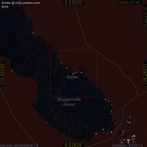
Analysis of Arawa night lights 2016
Square area 10x10 km:
 0%
0%90-99
0%80-89
0%70-79
0%60-69
0.65%50-59
0.22%40-49
0%30-39
0%20-29
1.3%10-19
0.43%0-9
97.4%Square area 50x50 km:
0.03%90-99
0%80-89
0%70-79
0%60-69
0.1%50-59
0.01%40-49
0%30-39
0.03%20-29
0.09%10-19
0.02%0-9
99.72%Clear (daylight) street map image can be seen on geolist.org.
Map coordinates:
5° 31' 49.3" South, 154° 51' 46.3" East
6° 13' 47.2" South, 155° 33' 57.5" East
6° 55' 41.7" South, 156° 16' 8.8" East
Some cities around Arawa sort by population:
• Kokopo
421 km =261.6 mi,  299°
299°
• Malango, SB
597.8 km =371.5 mi,  130°
130°
• Rabaul
439.2 km =272.9 mi, 300°
• Gizo, SB
251.4 km =156.2 mi,  145°
145°
• Buala, SB
492.5 km =306 mi,  115°
115°
• Tulagi, SB
597.7 km =371.4 mi, 122°
• Buka
132.9 km =82.6 mi,  311°
311°
• Taro, SB
106.3 km =66.1 mi, 120°
2100633 (p: 40,266)
Sources (retrieved 2019-11-25):
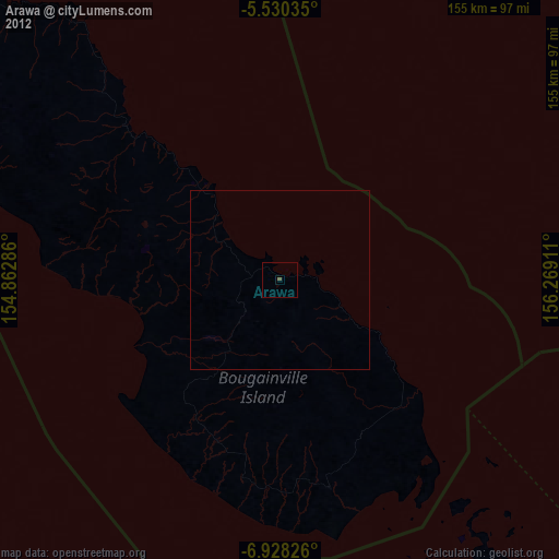
» Earth at Night: Flat Maps 2012, 2016