Buka night lights from space
Night Light of Buka (Bougainville) from space (Papua New Guinea) Src. Average luminocity for 10x10km area is 1.8781% and for 50x50km: 0.1316%.
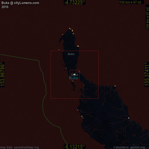
Analysis of Buka night lights 2016
Square area 10x10 km:
 0.83%
0.83%90-99
0%80-89
0%70-79
0%60-69
0%50-59
0.83%40-49
0.41%30-39
0%20-29
0%10-19
0.83%0-9
97.11%Square area 50x50 km:
0.03%90-99
0%80-89
0%70-79
0%60-69
0%50-59
0.03%40-49
0.06%30-39
0.04%20-29
0.07%10-19
0.03%0-9
99.73%Clear (daylight) street map image can be seen on geolist.org.
Map coordinates:
4° 43' 56.1" South, 153° 58' 4.3" East
5° 25' 57.4" South, 154° 40' 15.5" East
6° 7' 55.7" South, 155° 22' 26.8" East
Some cities around Buka sort by population:
• Arawa
132.9 km =82.6 mi,  131°
131°
• Kokopo
292.4 km =181.7 mi,  294°
294°
• Kimbe
501.9 km =311.9 mi,  268°
268°
• Kavieng
534.6 km =332.2 mi,  306°
306°
• Rabaul
309.8 km =192.5 mi,  296°
296°
• Gizo, SB
381.6 km =237.1 mi,  141°
141°
• Buala, SB
621.4 km =386.1 mi,  119°
119°
• Taro, SB
238 km =147.9 mi, 126°
8714539 (p: 0)
Sources (retrieved 2019-11-25):
» Earth at Night: Flat Maps 2012, 2016