Auki night lights from space
Night Light of Auki (Malaita) from space (Solomon Islands) Src. Average luminocity for 10x10km area is 0% and for 50x50km: 0%.
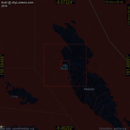
Analysis of Auki night lights 2016
Square area 10x10 km:
 0%
0%90-99
0%80-89
0%70-79
0%60-69
0%50-59
0%40-49
0%30-39
0%20-29
0%10-19
0%0-9
100%Square area 50x50 km:
0%90-99
0%80-89
0%70-79
0%60-69
0%50-59
0%40-49
0%30-39
0%20-29
0%10-19
0%0-9
100%Clear (daylight) street map image can be seen on geolist.org.
Map coordinates:
8° 4' 20.1" South, 159° 59' 40.8" East
8° 46' 4" South, 160° 41' 52" East
9° 27' 43.3" South, 161° 24' 3.3" East
Some cities around Auki sort by population:
• Honiara
110.5 km =68.7 mi,  227°
227°
• Malango
149 km =92.6 mi, 226°
• Gizo
430.5 km =267.5 mi,  279°
279°
• Buala
139.9 km =86.9 mi,  299°
299°
• Tulagi
70.7 km =43.9 mi,  238°
238°
• Kirakira
230.5 km =143.2 mi,  144°
144°
• Lata
599.7 km =372.6 mi,  111°
111°
• Taro
526.1 km =326.9 mi, 295°
2109701 (p: 6,811)
Sources (retrieved 2019-11-25):
» Earth at Night: Flat Maps 2012, 2016