Al Wajh night lights from space
Night Light of Al Wajh (Tabuk) from space (Saudi Arabia) Src. Average luminocity for 10x10km area is 63.1944% and for 50x50km: 5.5899%.
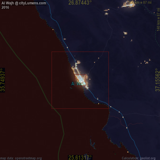
Analysis of Al Wajh night lights 2016
Square area 10x10 km:
 17.46%
90-99
17.06%80-89
2.38%70-79
0.79%60-69
23.81%50-59
5.56%40-49
4.96%30-39
7.74%20-29
9.33%10-19
9.52%0-9
1.39%Square area 50x50 km:
0.73%90-99
0.88%80-89
0.28%70-79
0.32%60-69
1.99%50-59
0.48%40-49
0.68%30-39
1.02%20-29
1.54%10-19
4.2%0-9
87.87%Clear (daylight) street map image can be seen on geolist.org.
Map coordinates:
26° 52' 27.9" North, 35° 44' 57.7" East
26° 14' 43.8" North, 36° 27' 9" East
25° 36' 47.4" North, 37° 9' 20.2" East
Some cities around Al Wajh sort by population:
• Tabuk
239.8 km =149 mi,  2°
2°
• Umm Lajj
158.8 km =98.7 mi,  148°
148°
• Safaga, EG
256.3 km =159.3 mi,  282°
282°
• Al-`Ula
151.9 km =94.4 mi,  74°
74°
• Al Quşayr, EG
217.6 km =135.2 mi,  265°
265°
• Duba
144.4 km =89.7 mi,  328°
328°
• Sharm el-Sheikh, EG
280.4 km =174.2 mi,  311°
311°
• Marsa Alam, EG
204.5 km =127.1 mi,  229°
229°
108773 (p: 26,636)
Sources (retrieved 2019-11-25):
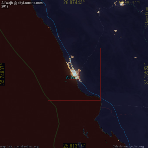
» Earth at Night: Flat Maps 2012, 2016