Marsa Alam night lights from space
Night Light of Marsa Alam (Red Sea) from space (Egypt) Src. Average luminocity for 10x10km area is 8.5492% and for 50x50km: 0.9451%.
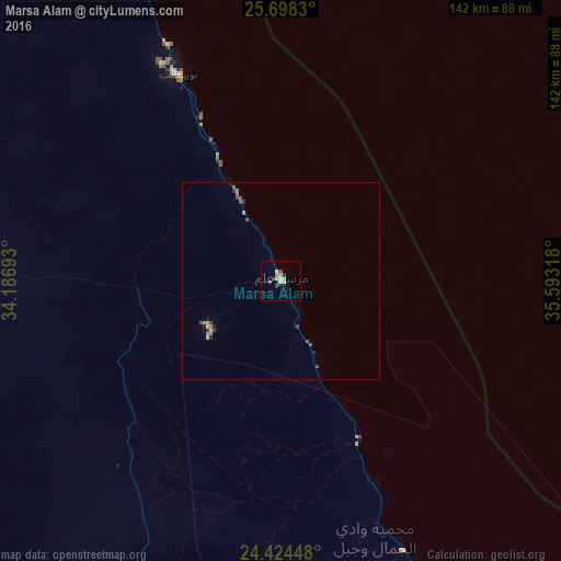
Analysis of Marsa Alam night lights 2016
Square area 10x10 km:
 0.95%
0.95%90-99
2.08%80-89
1.33%70-79
0.95%60-69
0.76%50-59
0.76%40-49
2.08%30-39
0.38%20-29
0.57%10-19
0%0-9
90.15%Square area 50x50 km:
0.05%90-99
0.12%80-89
0.14%70-79
0.16%60-69
0.09%50-59
0.22%40-49
0.25%30-39
0.12%20-29
0.12%10-19
0.08%0-9
98.64%Clear (daylight) street map image can be seen on geolist.org.
Map coordinates:
25° 41' 53.9" North, 34° 11' 12.9" East
25° 3' 47" North, 34° 53' 24.2" East
24° 25' 28.1" North, 35° 35' 35.4" East
Some cities around Marsa Alam sort by population:
• Aswan
228.5 km =142 mi,  241°
241°
• Idfū
203 km =126.1 mi,  267°
267°
• Isnā
236.5 km =147 mi,  276°
276°
• Kousa
233.6 km =145.2 mi,  293°
293°
• Kawm Umbū
206.8 km =128.5 mi,  251°
251°
• Safaga
210.2 km =130.6 mi,  333°
333°
• Al Wajh, SA
204.5 km =127.1 mi,  49°
49°
• Al Quşayr
131.3 km =81.6 mi, 332°
352736 (p: 10,000)
Sources (retrieved 2019-11-25):
» Earth at Night: Flat Maps 2012, 2016