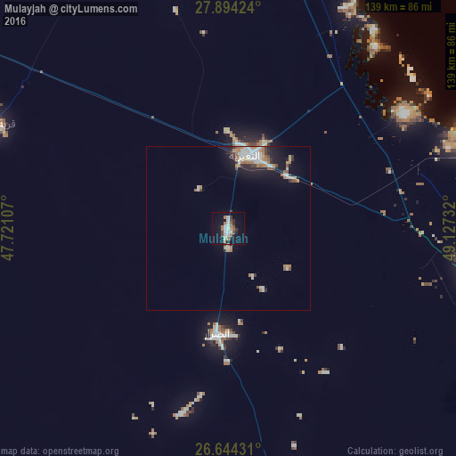
Mulayjah night lights from space
Night Light of Mulayjah (Eastern Province) from space (Saudi Arabia) Src. Average luminocity for 10x10km area is 24.4962% and for 50x50km: 5.4046%.
Analysis of Mulayjah night lights 2016
Square area 10x10 km:
 5.49%
5.49%90-99
4.36%80-89
0%70-79
0.76%60-69
6.06%50-59
3.03%40-49
2.27%30-39
3.41%20-29
2.27%10-19
25.38%0-9
46.97%Square area 50x50 km:
0.97%90-99
1.14%80-89
0.25%70-79
0.51%60-69
1.07%50-59
0.56%40-49
0.39%30-39
0.61%20-29
0.94%10-19
3.94%0-9
89.62%Clear (daylight) street map image can be seen on geolist.org.
Map coordinates:
27° 53' 39.3" North, 47° 43' 15.9" East
27° 16' 15.7" North, 48° 25' 27.1" East
26° 38' 39.5" North, 49° 7' 38.4" East
Some cities around Mulayjah sort by population:
• Al Jubayl
121.9 km =75.7 mi,  103°
103°
• Al Khafjī
130 km =80.8 mi,  2°
2°
• Şafwá
166.7 km =103.6 mi,  114°
114°
• Raḩīmah
173.9 km =108.1 mi, 111°
• Umm as Sāhik
163 km =101.3 mi, 114°
• Al Awjām
169.9 km =105.6 mi,  117°
117°
• Al Wafrah, KW
159.7 km =99.2 mi,  342°
342°
• As Saffānīyah
83.4 km =51.8 mi,  21°
21°
103922 (p: 5,247)
Sources (retrieved 2019-11-25):
» Earth at Night: Flat Maps 2012, 2016