Şafwá night lights from space
Night Light of Şafwá (Eastern Province) from space (Saudi Arabia) Src. Average luminocity for 10x10km area is 77.0549% and for 50x50km: 44.9096%.
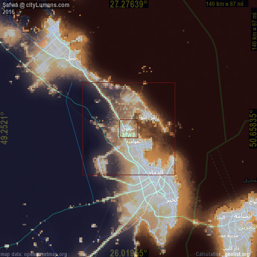
Analysis of Şafwá night lights 2016
Square area 10x10 km:
 7.2%
7.2%90-99
21.02%80-89
15.72%70-79
20.45%60-69
22.92%50-59
7.2%40-49
3.03%30-39
2.46%20-29
0%10-19
0%0-9
0%Square area 50x50 km:
7.51%90-99
9.17%80-89
5.51%70-79
5.93%60-69
9.8%50-59
6.85%40-49
6.44%30-39
7.42%20-29
8.79%10-19
9.8%0-9
22.78%Clear (daylight) street map image can be seen on geolist.org.
Map coordinates:
27° 16' 35" North, 49° 15' 7.6" East
26° 38' 58.9" North, 49° 57' 18.8" East
26° 1' 10.4" North, 50° 39' 30.1" East
Some cities around Şafwá sort by population:
• Dammam
28.1 km =17.5 mi,  148°
148°
• Al Qaţīf
10.8 km =6.7 mi, 150°
• Tārūt
12 km =7.5 mi,  135°
135°
• Sayhāt
20.7 km =12.9 mi, 153°
• Raḩīmah
12.4 km =7.7 mi,  58°
58°
• Umm as Sāhik
3.9 km =2.4 mi,  276°
276°
• Al Awjām
9.7 km =6 mi,  187°
187°
• At Tūbī
10.8 km =6.7 mi,  160°
160°
102585 (p: 45,876)
Sources (retrieved 2019-11-25):
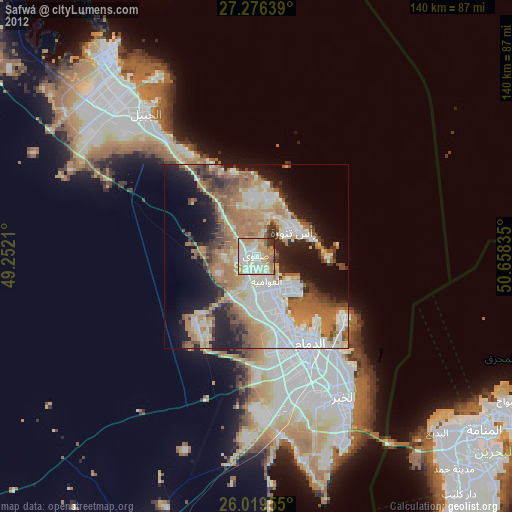
» Earth at Night: Flat Maps 2012, 2016