Al Khafjī night lights from space
Night Light of Al Khafjī (Eastern Province) from space (Saudi Arabia) Src. Average luminocity for 10x10km area is 82.131% and for 50x50km: 11.6606%.
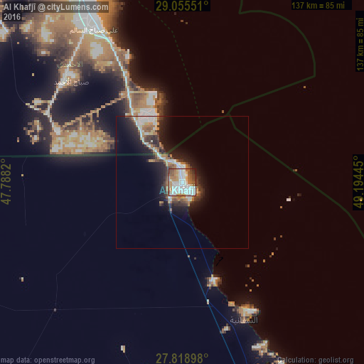
Analysis of Al Khafjī night lights 2016
Square area 10x10 km:
 33.53%
90-99
21.43%80-89
5.95%70-79
8.73%60-69
11.31%50-59
10.12%40-49
4.96%30-39
2.38%20-29
1.59%10-19
0%0-9
0%Square area 50x50 km:
2.3%90-99
2.32%80-89
0.81%70-79
1.05%60-69
2.06%50-59
1.44%40-49
1.14%30-39
2.07%20-29
3.33%10-19
7.04%0-9
76.44%Clear (daylight) street map image can be seen on geolist.org.
Map coordinates:
29° 3' 19.8" North, 47° 47' 17.5" East
28° 26' 20.6" North, 48° 29' 28.8" East
27° 49' 8.3" North, 49° 11' 40" East
Some cities around Al Khafjī sort by population:
• Al Aḩmadī, KW
81.3 km =50.5 mi,  330°
330°
• Al Faḩāḩīl, KW
79.7 km =49.5 mi, 333°
• Ar Riqqah, KW
87.6 km =54.4 mi, 333°
• Al Manqaf, KW
81 km =50.3 mi, 334°
• Al Finţās, KW
89.3 km =55.5 mi,  336°
336°
• Al Mahbūlah, KW
86 km =53.4 mi, 335°
• Al Wafrah, KW
59.1 km =36.7 mi,  292°
292°
• As Saffānīyah
57.1 km =35.5 mi,  155°
155°
109380 (p: 54,857)
Sources (retrieved 2019-11-25):
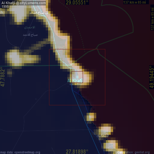
» NASA, Earths city lights 1995
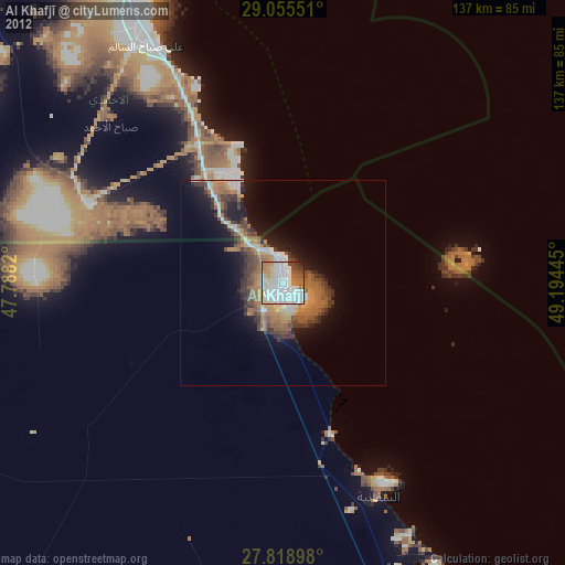
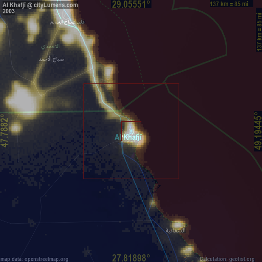
» NASA city lights 2003
» Earth at Night: Flat Maps 2012, 2016