Safaga night lights from space
Night Light of Safaga (Red Sea) from space (Egypt) Src. Average luminocity for 10x10km area is 36.2361% and for 50x50km: 2.8651%.
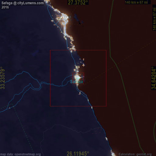
Analysis of Safaga night lights 2016
Square area 10x10 km:
 6.94%
6.94%90-99
8.13%80-89
2.78%70-79
4.76%60-69
1.59%50-59
2.58%40-49
7.94%30-39
3.17%20-29
5.95%10-19
43.06%0-9
13.1%Square area 50x50 km:
0.31%90-99
0.4%80-89
0.27%70-79
0.38%60-69
0.25%50-59
0.15%40-49
0.7%30-39
0.54%20-29
0.44%10-19
2.74%0-9
93.81%Clear (daylight) street map image can be seen on geolist.org.
Map coordinates:
27° 22' 30.7" North, 33° 14' 8.8" East
26° 44' 56.6" North, 33° 56' 20.1" East
26° 7' 10" North, 34° 38' 31.3" East
Some cities around Safaga sort by population:
• Qinā
137.1 km =85.2 mi,  241°
241°
• Hurghada
57.9 km =36 mi,  347°
347°
• Kousa
149.4 km =92.8 mi,  231°
231°
• Dishnā
161.4 km =100.3 mi, 244°
• Al Quşayr
79 km =49.1 mi,  154°
154°
• El Gouna
76.2 km =47.3 mi,  340°
340°
• El-Tor
168.9 km =104.9 mi, 349°
• Sharm el-Sheikh
135.4 km =84.1 mi,  16°
16°
358620 (p: 32,944)
Sources (retrieved 2019-11-25):
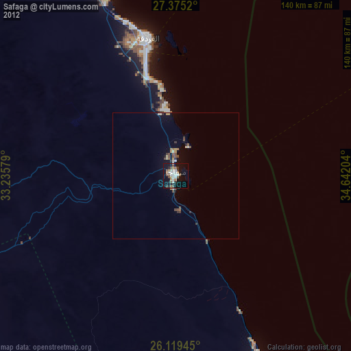
» Earth at Night: Flat Maps 2012, 2016