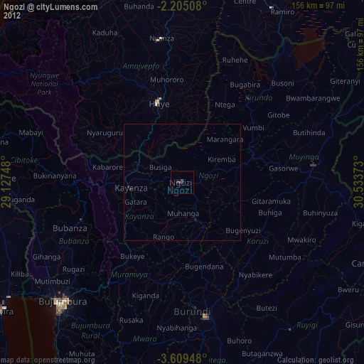
Ngozi night lights from space
Night Light of Ngozi from space (Burundi) Src. Average luminocity for 10x10km area is 4.9156% and for 50x50km: 0.2122%.
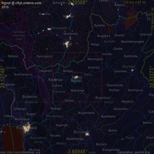
Analysis of Ngozi night lights 2016
Square area 10x10 km:
100  0%
0%
90-99 0.22%
80-89 0.65%
70-79 1.3%
60-69 1.3%
50-59 0%
40-49 1.08%
30-39 3.03%
20-29 1.08%
10-19 0%
0-9 91.34%
0%90-99
0.22%80-89
0.65%70-79
1.3%60-69
1.3%50-59
0%40-49
1.08%30-39
3.03%20-29
1.08%10-19
0%0-9
91.34%Square area 50x50 km:
100 0%
90-99 0.01%
80-89 0.03%
70-79 0.05%
60-69 0.05%
50-59 0%
40-49 0.04%
30-39 0.12%
20-29 0.06%
10-19 0.05%
0-9 99.58%
0%90-99
0.01%80-89
0.03%70-79
0.05%60-69
0.05%50-59
0%40-49
0.04%30-39
0.12%20-29
0.06%10-19
0.05%0-9
99.58%Clear (daylight) street map image can be seen on geolist.org.
Map coordinates:
2° 12' 18.3" South, 29° 7' 38.9" East
2° 54' 27" South, 29° 49' 50.2" East
3° 36' 34.1" South, 30° 32' 1.4" East
Some cities around Ngozi sort by population:
• Butare, RW
36 km =22.4 mi,  343°
343°
• Muyinga
57.1 km =35.5 mi,  83°
83°
• Nzega, RW
56.5 km =35.1 mi,  327°
327°
• Kayanza
22.4 km =13.9 mi,  265°
265°
• Muramvya
47.1 km =29.3 mi,  211°
211°
• Bubanza
52.5 km =32.6 mi,  248°
248°
• Karuzi
42.7 km =26.5 mi,  120°
120°
• Kirundo
46.5 km =28.9 mi,  39°
39°
430569 (p: 21,506)
Sources (retrieved 2019-11-25):
» Earth at Night: Flat Maps 2012, 2016