Yuzhno-Kurilsk night lights from space
Night Light of Yuzhno-Kurilsk (Sakhalin Oblast) from space (Russia) Src. Average luminocity for 10x10km area is 2.2317% and for 50x50km: 0.1557%.
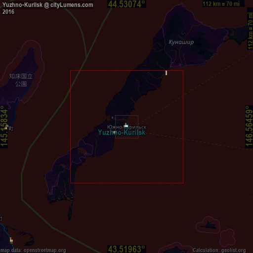
Analysis of Yuzhno-Kurilsk night lights 2016
Square area 10x10 km:
 0.95%
0.95%90-99
0.32%80-89
0%70-79
0%60-69
0%50-59
0%40-49
1.27%30-39
0.32%20-29
0%10-19
0%0-9
97.14%Square area 50x50 km:
0.04%90-99
0.01%80-89
0.05%70-79
0%60-69
0%50-59
0.02%40-49
0.06%30-39
0.02%20-29
0.02%10-19
0%0-9
99.78%Clear (daylight) street map image can be seen on geolist.org.
Map coordinates:
44° 31' 50.7" North, 145° 9' 30" East
44° 1' 38.4" North, 145° 51' 41.3" East
43° 31' 10.7" North, 146° 33' 52.5" East
Some cities around Yuzhno-Kurilsk sort by population:
• Kushiro, JP
167.5 km =104.1 mi,  225°
225°
• Kitami, JP
159.8 km =99.3 mi,  261°
261°
• Abashiri, JP
127.3 km =79.1 mi,  269°
269°
• Otofuke, JP
243.5 km =151.3 mi,  241°
241°
• Nemuro, JP
81.6 km =50.7 mi,  196°
196°
• Mombetsu, JP
203.3 km =126.3 mi,  280°
280°
• Motomachi, JP
143.1 km =88.9 mi, 261°
• Shibetsu, JP
71.4 km =44.4 mi, 235°
2119447 (p: 6,465)
Sources (retrieved 2019-11-25):
» Earth at Night: Flat Maps 2012, 2016