Motomachi night lights from space
Night Light of Motomachi (Hokkaido) from space (Japan) Src. Average luminocity for 10x10km area is 10.5254% and for 50x50km: 3.6766%.
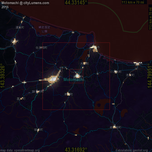
Analysis of Motomachi night lights 2016
Square area 10x10 km:
 1.43%
1.43%90-99
2.38%80-89
0%70-79
1.11%60-69
1.9%50-59
2.06%40-49
0.95%30-39
1.9%20-29
0.63%10-19
0.16%0-9
87.46%Square area 50x50 km:
0.21%90-99
0.5%80-89
0.54%70-79
0.65%60-69
0.55%50-59
0.52%40-49
0.4%30-39
0.6%20-29
0.56%10-19
2.54%0-9
92.94%Clear (daylight) street map image can be seen on geolist.org.
Map coordinates:
44° 19' 53.2" North, 143° 23' 35.7" East
43° 49' 34.8" North, 144° 5' 47" East
43° 19' 0.9" North, 144° 47' 58.2" East
Some cities around Motomachi sort by population:
• Kushiro
97.3 km =60.5 mi,  166°
166°
• Obihiro
124.2 km =77.2 mi,  215°
215°
• Kitami
16.7 km =10.4 mi,  261°
261°
• Abashiri
25.7 km =16 mi,  32°
32°
• Otofuke
117.7 km =73.1 mi, 217°
• Mombetsu
83.4 km =51.8 mi,  314°
314°
• Shibetsu
85.2 km =52.9 mi,  102°
102°
• Kamikawa
106.3 km =66.1 mi,  270°
270°
2127383 (p: 22,972)
Sources (retrieved 2019-11-25):
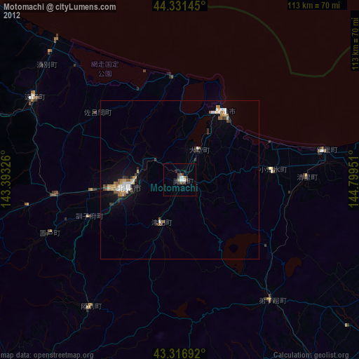
» Earth at Night: Flat Maps 2012, 2016