Otofuke night lights from space
Night Light of Otofuke (Hokkaido) from space (Japan) Src. Average luminocity for 10x10km area is 26.4349% and for 50x50km: 6.5743%.

Analysis of Otofuke night lights 2016
Square area 10x10 km:
 0.48%
0.48%90-99
5.24%80-89
5.08%70-79
2.7%60-69
3.02%50-59
3.17%40-49
2.06%30-39
5.56%20-29
13.81%10-19
23.17%0-9
35.71%Square area 50x50 km:
0.57%90-99
1.79%80-89
1.01%70-79
0.73%60-69
0.6%50-59
0.67%40-49
0.6%30-39
0.74%20-29
1.98%10-19
4.21%0-9
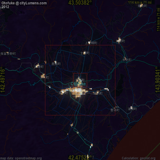
87.11%Clear (daylight) street map image can be seen on geolist.org.
Map coordinates:
43° 30' 13.8" North, 142° 29' 49.8" East
42° 59' 30" North, 143° 12' 1" East
42° 28' 30.8" North, 143° 54' 12.3" East
Some cities around Otofuke sort by population:
• Asahikawa
109.8 km =68.2 mi,  322°
322°
• Kushiro
95.5 km =59.3 mi,  91°
91°
• Obihiro
8.3 km =5.2 mi,  177°
177°
• Kitami
106.1 km =65.9 mi,  31°
31°
• Shimo-furano
77.3 km =48 mi,  301°
301°
• Shizunai-furukawachō
100 km =62.1 mi,  222°
222°
• Ashibetsu
100.4 km =62.4 mi,  305°
305°
• Kamikawa
100.5 km =62.4 mi,  339°
339°
2128558 (p: 40,944)
Sources (retrieved 2019-11-25):
» Earth at Night: Flat Maps 2012, 2016