Shibetsu night lights from space
Night Light of Shibetsu (Hokkaido) from space (Japan) Src. Average luminocity for 10x10km area is 2.4864% and for 50x50km: 0.6168%.
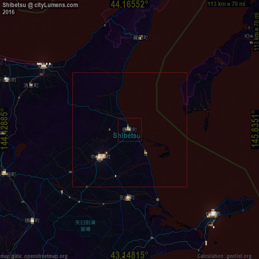
Analysis of Shibetsu night lights 2016
Square area 10x10 km:
 0%
0%90-99
0.45%80-89
0.61%70-79
0.76%60-69
0%50-59
0%40-49
0.45%30-39
1.36%20-29
0%10-19
0%0-9
96.36%Square area 50x50 km:
0.02%90-99
0.04%80-89
0.1%70-79
0.18%60-69
0.16%50-59
0.07%40-49
0.04%30-39
0.1%20-29
0.1%10-19
0.04%0-9
99.15%Clear (daylight) street map image can be seen on geolist.org.
Map coordinates:
44° 9' 55.9" North, 144° 25' 43.9" East
43° 39' 32.4" North, 145° 7' 55.1" East
43° 8' 53.3" North, 145° 50' 6.4" East
Some cities around Shibetsu sort by population:
• Kushiro
97.7 km =60.7 mi,  218°
218°
• Kitami
101 km =62.8 mi,  279°
279°
• Abashiri
80 km =49.7 mi,  300°
300°
• Otofuke
173 km =107.5 mi,  244°
244°
• Nemuro
51.7 km =32.1 mi,  136°
136°
• Mombetsu
161.9 km =100.6 mi, 298°
• Motomachi
85.2 km =52.9 mi, 282°
• Yuzhno-Kurilsk, RU
71.4 km =44.4 mi,  55°
55°
2128206 (p: 21,744)
Sources (retrieved 2019-11-25):
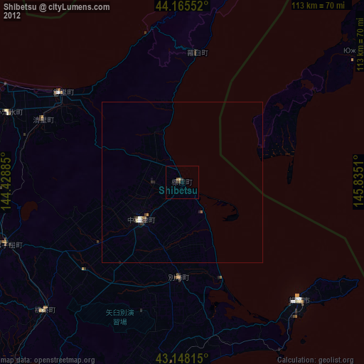
» Earth at Night: Flat Maps 2012, 2016