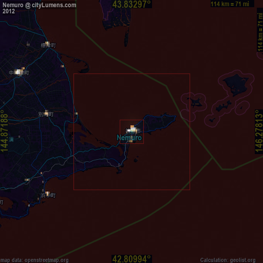
Nemuro night lights from space
Night Light of Nemuro (Hokkaido) from space (Japan) Src. Average luminocity for 10x10km area is 14.0227% and for 50x50km: 0.7123%.
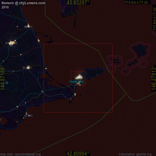
Analysis of Nemuro night lights 2016
Square area 10x10 km:
 1.97%
1.97%90-99
2.27%80-89
0.3%70-79
2.42%60-69
2.27%50-59
1.97%40-49
3.03%30-39
1.21%20-29
0%10-19
3.18%0-9
81.36%Square area 50x50 km:
0.08%90-99
0.13%80-89
0.04%70-79
0.1%60-69
0.09%50-59
0.11%40-49
0.13%30-39
0.1%20-29
0%10-19
0.18%0-9
99.04%Clear (daylight) street map image can be seen on geolist.org.
Map coordinates:
43° 49' 58.7" North, 144° 52' 18.8" East
43° 19' 25" North, 145° 34' 30" East
42° 48' 35.8" North, 146° 16' 41.3" East
Some cities around Nemuro sort by population:
• Kushiro
104.8 km =65.1 mi,  248°
248°
• Obihiro
197.6 km =122.8 mi,  256°
256°
• Kitami
145.8 km =90.6 mi,  291°
291°
• Abashiri
130.5 km =81.1 mi,  306°
306°
• Otofuke
196.1 km =121.9 mi, 259°
• Motomachi
131.6 km =81.8 mi,  295°
295°
• Shibetsu
51.7 km =32.1 mi,  316°
316°
• Yuzhno-Kurilsk, RU
81.6 km =50.7 mi,  16°
16°
2128975 (p: 31,223)
Sources (retrieved 2019-11-25):
» Earth at Night: Flat Maps 2012, 2016