Kamenka night lights from space
Night Light of Kamenka (Leningradskaya Oblast') from space (Russia) Src. Average luminocity for 10x10km area is 0.6064% and for 50x50km: 3.7605%.
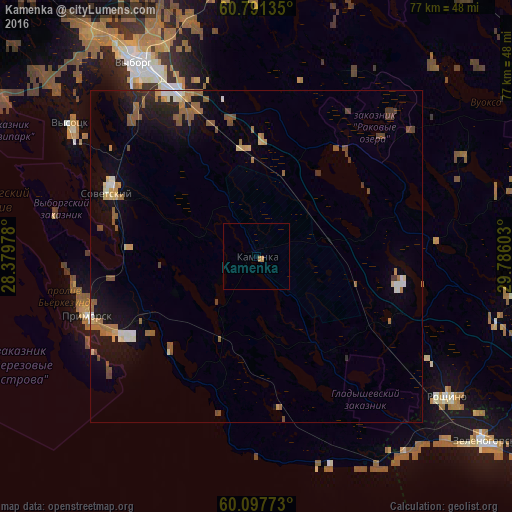
Analysis of Kamenka night lights 2016
Square area 10x10 km:
 0%
0%90-99
0%80-89
0%70-79
0.21%60-69
0.62%50-59
0%40-49
0%30-39
0%20-29
0%10-19
0%0-9
99.17%Square area 50x50 km:
0.22%90-99
0.44%80-89
0.4%70-79
0.38%60-69
0.87%50-59
0.9%40-49
0.47%30-39
0.31%20-29
0.6%10-19
2.77%0-9
92.65%Clear (daylight) street map image can be seen on geolist.org.
Map coordinates:
60° 47' 28.9" North, 28° 22' 47.2" East
60° 26' 47" North, 29° 4' 58.4" East
60° 5' 51.8" North, 29° 47' 9.7" East
Some cities around Kamenka sort by population:
• Vyborg
34.2 km =21.3 mi,  328°
328°
• Kurortnyy
55.1 km =34.2 mi,  124°
124°
• Sosnovyy Bor
60.8 km =37.8 mi,  179°
179°
• Zelenogorsk
43.7 km =27.2 mi,  128°
128°
• Roshchino
36.1 km =22.4 mi, 126°
• Sovetskiy
24.5 km =15.2 mi,  294°
294°
• Lebyazh’ye
57 km =35.4 mi,  161°
161°
• Primorsk
27.6 km =17.1 mi,  251°
251°
553615 (p: 8,212)
Sources (retrieved 2019-11-25):
» Earth at Night: Flat Maps 2012, 2016