Tyukhtet night lights from space
Night Light of Tyukhtet (Krasnoyarskiy) from space (Russia) Src. Average luminocity for 10x10km area is 0.5841% and for 50x50km: 0.0547%.
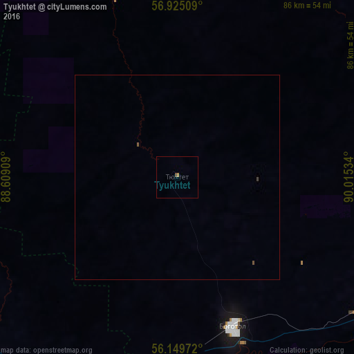
Analysis of Tyukhtet night lights 2016
Square area 10x10 km:
 0%
0%90-99
0%80-89
0%70-79
0.45%60-69
0%50-59
0.23%40-49
0.23%30-39
0%20-29
0%10-19
0%0-9
99.09%Square area 50x50 km:
0%90-99
0%80-89
0%70-79
0.02%60-69
0%50-59
0.05%40-49
0.01%30-39
0.01%20-29
0%10-19
0%0-9
99.91%Clear (daylight) street map image can be seen on geolist.org.
Map coordinates:
56° 55' 30.3" North, 88° 36' 32.7" East
56° 32' 21.8" North, 89° 18' 44" East
56° 8' 59" North, 90° 0' 55.2" East
Some cities around Tyukhtet sort by population:
• Achinsk
79 km =49.1 mi,  112°
112°
• Nazarovo
89.3 km =55.5 mi,  131°
131°
• Mariinsk
102.9 km =63.9 mi,  249°
249°
• Sharypovo
111.3 km =69.2 mi,  183°
183°
• Bogotol
39.3 km =24.4 mi,  159°
159°
• Tyazhinskiy
67.7 km =42.1 mi,  225°
225°
• Dubinino
103.2 km =64.1 mi,  187°
187°
• Tisul’
106.4 km =66.1 mi,  215°
215°
1488774 (p: 5,138)
Sources (retrieved 2019-11-25):
» Earth at Night: Flat Maps 2012, 2016