Tisul’ night lights from space
Night Light of Tisul’ (Kemerovo Oblast) from space (Russia) Src. Average luminocity for 10x10km area is 1.1687% and for 50x50km: 0.0625%.
Analysis of Tisul’ night lights 2016
Square area 10x10 km:
 0%
0%90-99
0%80-89
0.48%70-79
0.48%60-69
0.48%50-59
0%40-49
0%30-39
0%20-29
0%10-19
0%0-9
98.56%Square area 50x50 km:
0%90-99
0%80-89
0.02%70-79
0.04%60-69
0.02%50-59
0%40-49
0%30-39
0%20-29
0%10-19
0%0-9
99.92%Clear (daylight) street map image can be seen on geolist.org.
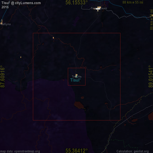
Map coordinates:
56° 9' 19.2" North, 87° 36' 33" East
55° 45' 42.2" North, 88° 18' 44.2" East
55° 21' 50.8" North, 89° 0' 55.5" East
Some cities around Tisul’ sort by population:
• Mariinsk
61.3 km =38.1 mi,  325°
325°
• Sharypovo
60.9 km =37.8 mi,  113°
113°
• Bogotol
90.8 km =56.4 mi,  56°
56°
• Uzhur
107.9 km =67 mi,  117°
117°
• Tyazhinskiy
41.5 km =25.8 mi,  18°
18°
• Dubinino
51.3 km =31.9 mi, 107°
• Verkh-Chebula
52.4 km =32.6 mi,  304°
304°
• Tyukhtet
106.4 km =66.1 mi,  35°
35°
1489554 (p: 9,249)
Sources (retrieved 2019-11-25):
» Earth at Night: Flat Maps 2012, 2016