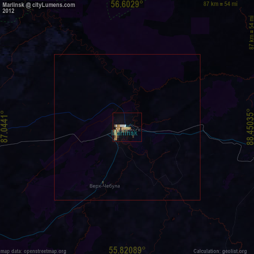
Mariinsk night lights from space
Night Light of Mariinsk (Kemerovo Oblast) from space (Russia) Src. Average luminocity for 10x10km area is 33.7356% and for 50x50km: 1.6067%.
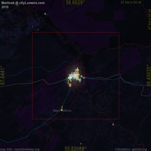
Analysis of Mariinsk night lights 2016
Square area 10x10 km:
 5.62%
5.62%90-99
7.42%80-89
2.27%70-79
6.94%60-69
5.74%50-59
1.91%40-49
1.44%30-39
0.72%20-29
7.3%10-19
36.84%0-9
23.8%Square area 50x50 km:
0.22%90-99
0.3%80-89
0.1%70-79
0.29%60-69
0.25%50-59
0.15%40-49
0.11%30-39
0.03%20-29
0.29%10-19
1.71%0-9
96.53%Clear (daylight) street map image can be seen on geolist.org.
Map coordinates:
56° 36' 10.4" North, 87° 2' 38.8" East
56° 12' 50" North, 87° 44' 50" East
55° 49' 15.2" North, 88° 27' 1.3" East
Some cities around Mariinsk sort by population:
• Tyazhinskiy
49.2 km =30.6 mi,  102°
102°
• Yaya
80.8 km =50.2 mi,  269°
269°
• Dubinino
106.7 km =66.3 mi,  128°
128°
• Tisul’
61.3 km =38.1 mi,  145°
145°
• Zyryanskoye
97.1 km =60.3 mi,  314°
314°
• Izhmorskiy
68.4 km =42.5 mi, 267°
• Verkh-Chebula
21.8 km =13.5 mi,  200°
200°
• Tyukhtet
102.9 km =63.9 mi,  69°
69°
1499350 (p: 43,122)
Sources (retrieved 2019-11-25):
» Earth at Night: Flat Maps 2012, 2016