Tyazhinskiy night lights from space
Night Light of Tyazhinskiy (Kemerovo Oblast) from space (Russia) Src. Average luminocity for 10x10km area is 5.7213% and for 50x50km: 0.2321%.
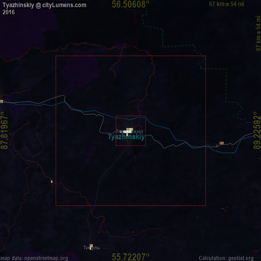
Analysis of Tyazhinskiy night lights 2016
Square area 10x10 km:
 0.84%
0.84%90-99
1.67%80-89
1.32%70-79
0.48%60-69
0.48%50-59
0%40-49
0.48%30-39
0%20-29
0%10-19
0%0-9
94.74%Square area 50x50 km:
0.03%90-99
0.07%80-89
0.05%70-79
0.02%60-69
0.02%50-59
0%40-49
0.02%30-39
0%20-29
0%10-19
0%0-9
99.79%Clear (daylight) street map image can be seen on geolist.org.
Map coordinates:
56° 30' 21.9" North, 87° 49' 10.8" East
56° 6' 57.9" North, 88° 31' 22" East
55° 43' 19.5" North, 89° 13' 33.3" East
Some cities around Tyazhinskiy sort by population:
• Mariinsk
49.2 km =30.6 mi,  282°
282°
• Sharypovo
76.8 km =47.7 mi,  146°
146°
• Bogotol
63.4 km =39.4 mi,  80°
80°
• Dubinino
65.6 km =40.8 mi, 147°
• Tisul’
41.5 km =25.8 mi,  198°
198°
• Izhmorskiy
116.8 km =72.6 mi,  274°
274°
• Verkh-Chebula
56.7 km =35.2 mi,  260°
260°
• Tyukhtet
67.7 km =42.1 mi,  45°
45°
1488838 (p: 13,716)
Sources (retrieved 2019-11-25):
» Earth at Night: Flat Maps 2012, 2016