Bogotol night lights from space
Night Light of Bogotol (Krasnoyarskiy) from space (Russia) Src. Average luminocity for 10x10km area is 21.2488% and for 50x50km: 0.9707%.
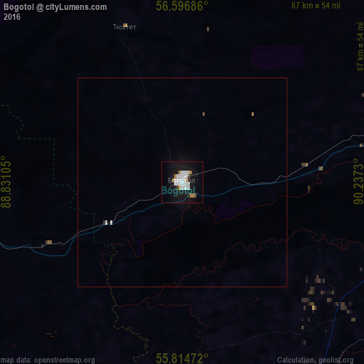
Analysis of Bogotol night lights 2016
Square area 10x10 km:
 6.22%
6.22%90-99
5.38%80-89
0.72%70-79
1.08%60-69
2.39%50-59
0.48%40-49
0.48%30-39
0.48%20-29
1.08%10-19
28.59%0-9
53.11%Square area 50x50 km:
0.28%90-99
0.22%80-89
0.03%70-79
0.04%60-69
0.11%50-59
0.04%40-49
0.02%30-39
0.04%20-29
0.04%10-19
1.15%0-9
98.03%Clear (daylight) street map image can be seen on geolist.org.
Map coordinates:
56° 35' 48.7" North, 88° 49' 51.8" East
56° 12' 28" North, 89° 32' 3" East
55° 48' 53" North, 90° 14' 14.3" East
Some cities around Bogotol sort by population:
• Achinsk
60 km =37.3 mi,  83°
83°
• Nazarovo
58.1 km =36.1 mi,  112°
112°
• Sharypovo
77.1 km =47.9 mi,  195°
195°
• Uzhur
101.3 km =62.9 mi,  169°
169°
• Tyazhinskiy
63.4 km =39.4 mi,  260°
260°
• Dubinino
71 km =44.1 mi, 202°
• Tisul’
90.8 km =56.4 mi,  236°
236°
• Tyukhtet
39.3 km =24.4 mi,  339°
339°
1509852 (p: 23,622)
Sources (retrieved 2019-11-25):
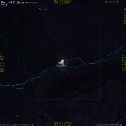
» Earth at Night: Flat Maps 2012, 2016