Nazarovo night lights from space
Night Light of Nazarovo (Krasnoyarskiy) from space (Russia) Src. Average luminocity for 10x10km area is 33.5827% and for 50x50km: 3.7364%.
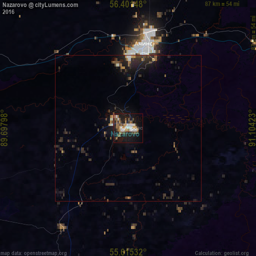
Analysis of Nazarovo night lights 2016
Square area 10x10 km:
 5.51%
5.51%90-99
5.51%80-89
0%70-79
4.64%60-69
6.02%50-59
8.27%40-49
4.26%30-39
3.51%20-29
6.39%10-19
35.84%0-9
20.05%Square area 50x50 km:
0.31%90-99
0.41%80-89
0.08%70-79
0.38%60-69
0.46%50-59
0.54%40-49
0.52%30-39
1.23%20-29
1.76%10-19
3.95%0-9
90.35%Clear (daylight) street map image can be seen on geolist.org.
Map coordinates:
56° 24' 5.3" North, 89° 41' 52.7" East
56° 0' 37.4" North, 90° 24' 4" East
55° 36' 55.2" North, 91° 6' 15.2" East
Some cities around Nazarovo sort by population:
• Achinsk
29.4 km =18.3 mi,  11°
11°
• Sharypovo
91.5 km =56.9 mi,  235°
235°
• Bogotol
58.1 km =36.1 mi,  292°
292°
• Uzhur
85.4 km =53.1 mi,  204°
204°
• Dubinino
92.7 km =57.6 mi, 242°
• Balakhta
103.3 km =64.2 mi,  132°
132°
• Kedrovyy
76.6 km =47.6 mi,  66°
66°
• Tyukhtet
89.3 km =55.5 mi,  311°
311°
1497951 (p: 55,252)
Sources (retrieved 2019-11-25):
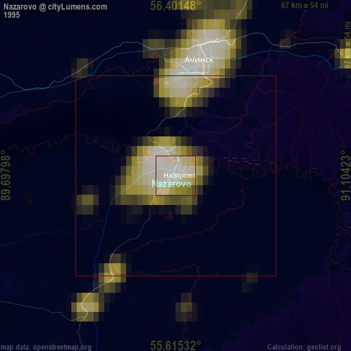
» NASA, Earths city lights 1995
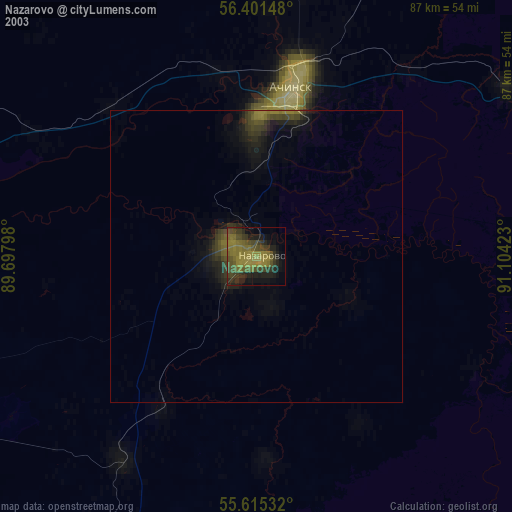
» NASA city lights 2003
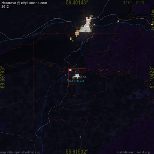
» Earth at Night: Flat Maps 2012, 2016