Verkh-Chebula night lights from space
Night Light of Verkh-Chebula (Kemerovo Oblast) from space (Russia) Src. Average luminocity for 10x10km area is 1.1153% and for 50x50km: 1.5364%.
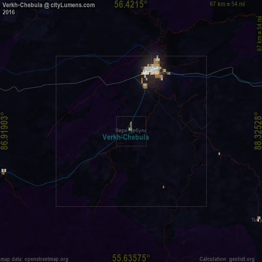
Analysis of Verkh-Chebula night lights 2016
Square area 10x10 km:
 0%
0%90-99
0%80-89
0%70-79
0%60-69
0.5%50-59
0.5%40-49
1%30-39
0%20-29
0%10-19
0%0-9
97.99%Square area 50x50 km:
0.22%90-99
0.3%80-89
0.09%70-79
0.29%60-69
0.25%50-59
0.17%40-49
0.11%30-39
0.03%20-29
0.29%10-19
1.52%0-9
96.73%Clear (daylight) street map image can be seen on geolist.org.
Map coordinates:
56° 25' 17.4" North, 86° 55' 8.5" East
56° 1' 50.2" North, 87° 37' 19.7" East
55° 38' 8.7" North, 88° 19' 31" East
Some cities around Verkh-Chebula sort by population:
• Anzhero-Sudzhensk
99.1 km =61.6 mi,  273°
273°
• Berëzovskiy
100.9 km =62.7 mi,  241°
241°
• Mariinsk
21.8 km =13.5 mi,  20°
20°
• Tyazhinskiy
56.7 km =35.2 mi,  80°
80°
• Yaya
75.8 km =47.1 mi,  284°
284°
• Dubinino
102.5 km =63.7 mi,  116°
116°
• Tisul’
52.4 km =32.6 mi, 124°
• Izhmorskiy
63.4 km =39.4 mi,  286°
286°
1487599 (p: 5,224)
Sources (retrieved 2019-11-25):
» Earth at Night: Flat Maps 2012, 2016