Karmaskaly night lights from space
Night Light of Karmaskaly (Bashkortostan Republic) from space (Russia) Src. Average luminocity for 10x10km area is 6.8534% and for 50x50km: 1.3252%.
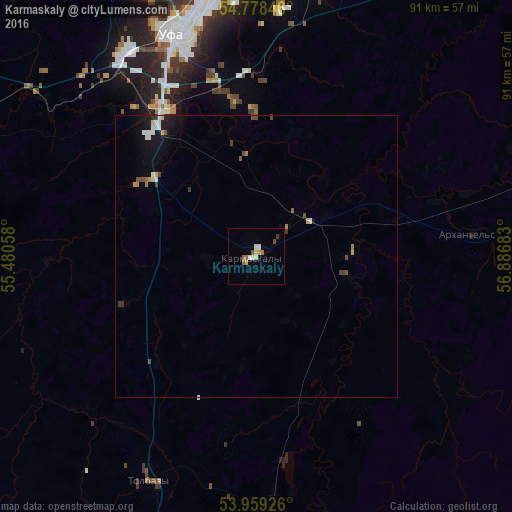
Analysis of Karmaskaly night lights 2016
Square area 10x10 km:
 0.63%
0.63%90-99
1.75%80-89
0.88%70-79
0.75%60-69
0.63%50-59
1.38%40-49
1%30-39
0.5%20-29
0%10-19
0%0-9
92.48%Square area 50x50 km:
0.15%90-99
0.25%80-89
0.1%70-79
0.16%60-69
0.1%50-59
0.14%40-49
0.28%30-39
0.19%20-29
0.09%10-19
0.88%0-9
97.66%Clear (daylight) street map image can be seen on geolist.org.
Map coordinates:
54° 46' 42.5" North, 55° 28' 50.1" East
54° 22' 15.2" North, 56° 11' 1.3" East
53° 57' 33.3" North, 56° 53' 12.6" East
Some cities around Karmaskaly sort by population:
• Ufa
43.7 km =27.2 mi,  341°
341°
• Sterlitamak
84.4 km =52.4 mi,  190°
190°
• Blagoveshchensk
75 km =46.6 mi,  349°
349°
• Davlekanovo
76.4 km =47.5 mi,  257°
257°
• Chishmy
56.9 km =35.4 mi,  293°
293°
• Rayevskiy
87.3 km =54.2 mi,  247°
247°
• Iglino
53.4 km =33.2 mi,  16°
16°
• Tolbazy
43.3 km =26.9 mi,  206°
206°
552312 (p: 7,858)
Sources (retrieved 2019-11-25):
» Earth at Night: Flat Maps 2012, 2016